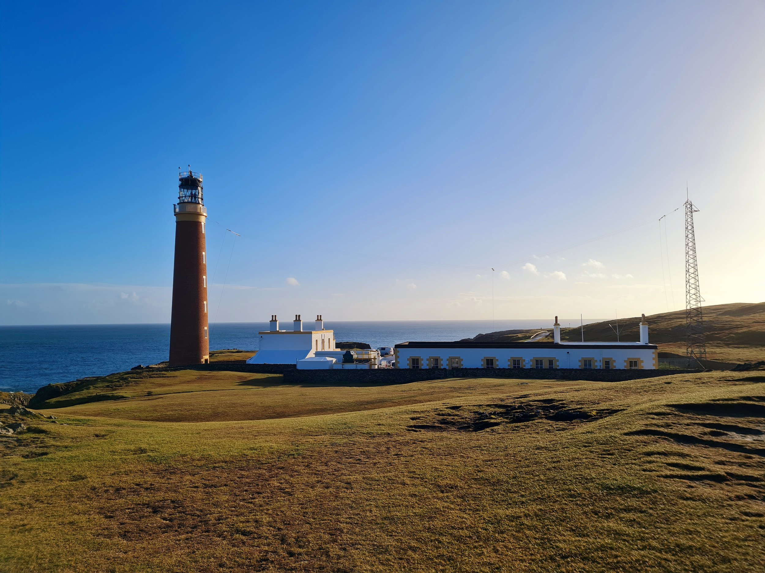
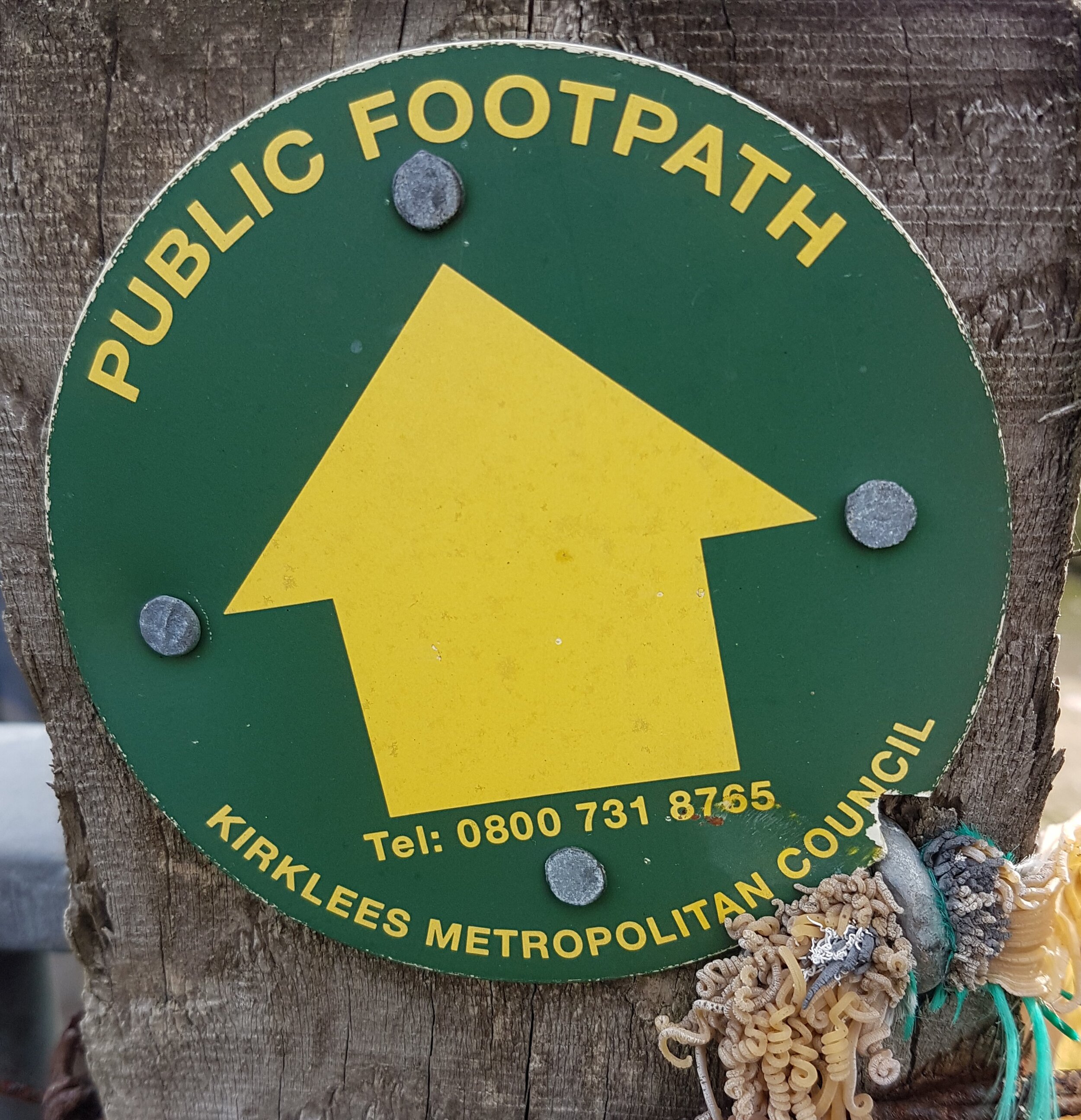
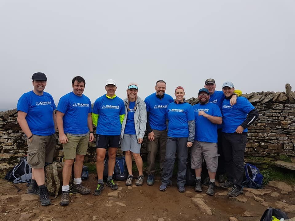
The Joe Brown Navigation Challenge is a test of endurance, skill, and precision, and I recently had the pleasure (and pain) of taking it on in the stunning Peak District. For those unfamiliar, this isn’t your average map-and-compass day out. It’s a demanding orienteering challenge that celebrates the legacy of legendary climber and mountaineer Joe Brown, pushing participants to their limits in one of the UK’s most beautiful national parks.
What Makes This Challenge Unique?
The Joe Brown Navigation Challenge is designed to test more than just your ability to follow a map. It combines physical endurance with intricate navigation, and difficult to find numbers, making you work for every checkpoint. While the details of the checkpoints and numbers are under wraps, let’s just say it’s no walk in the park.
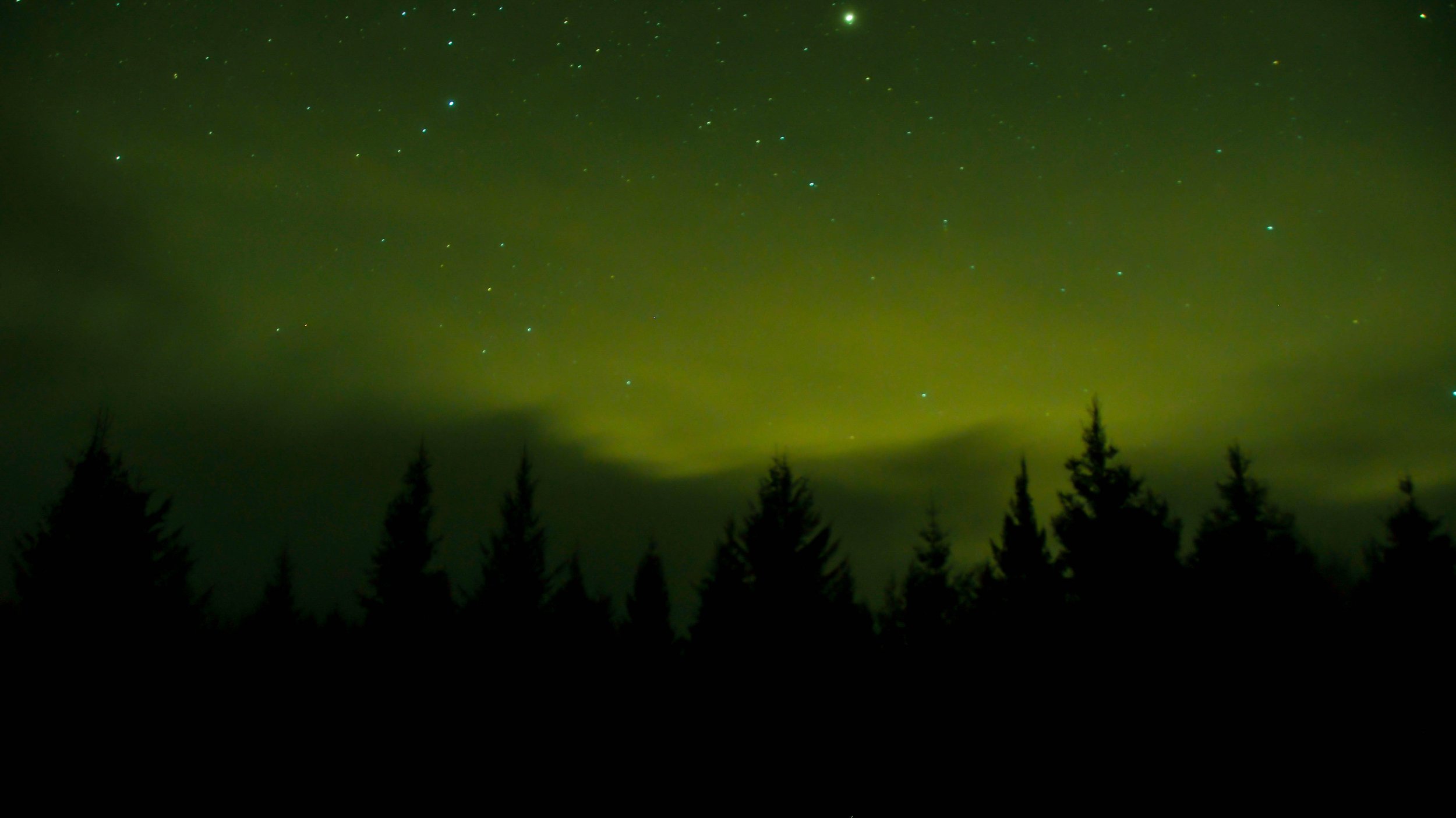
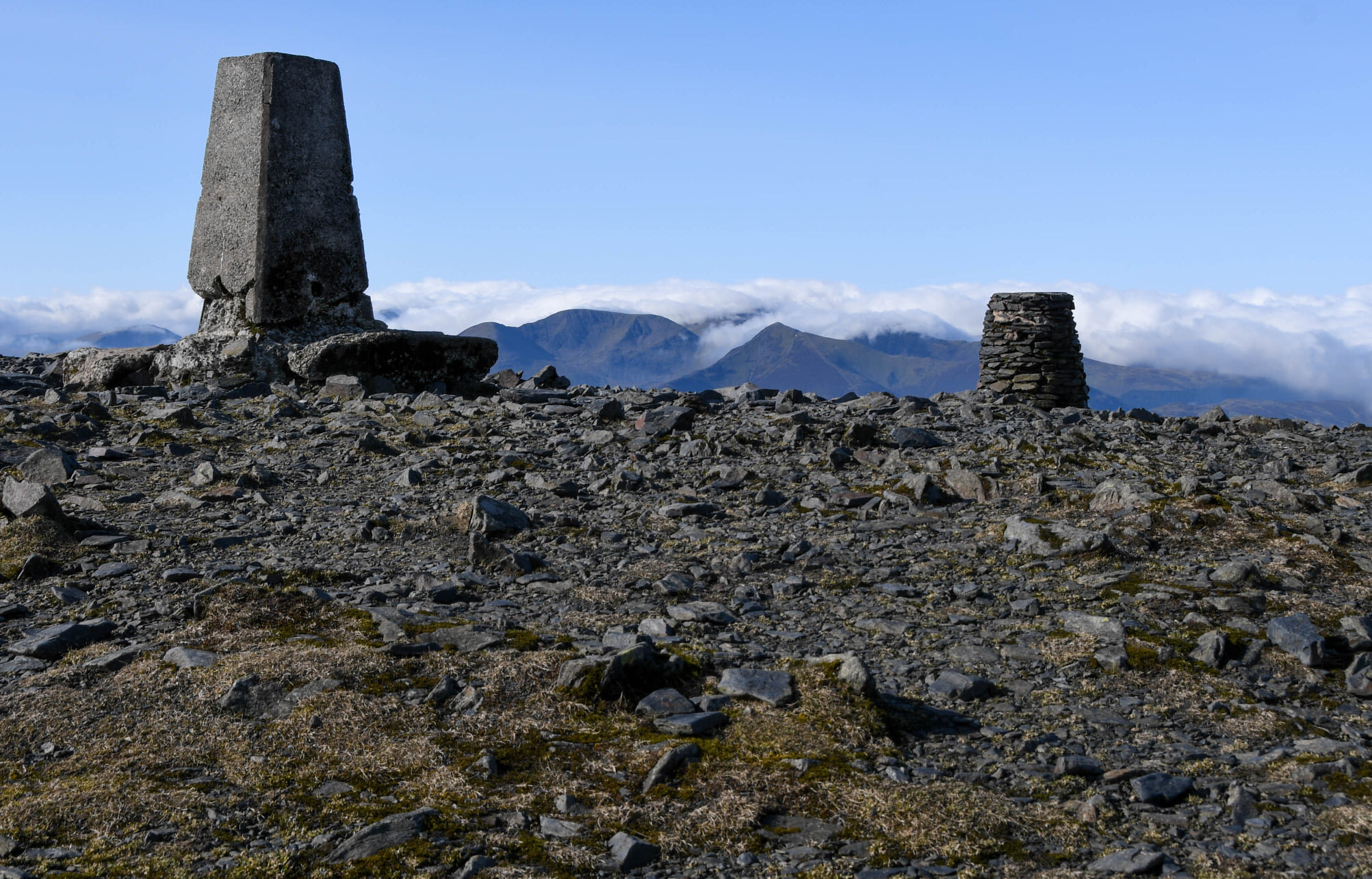
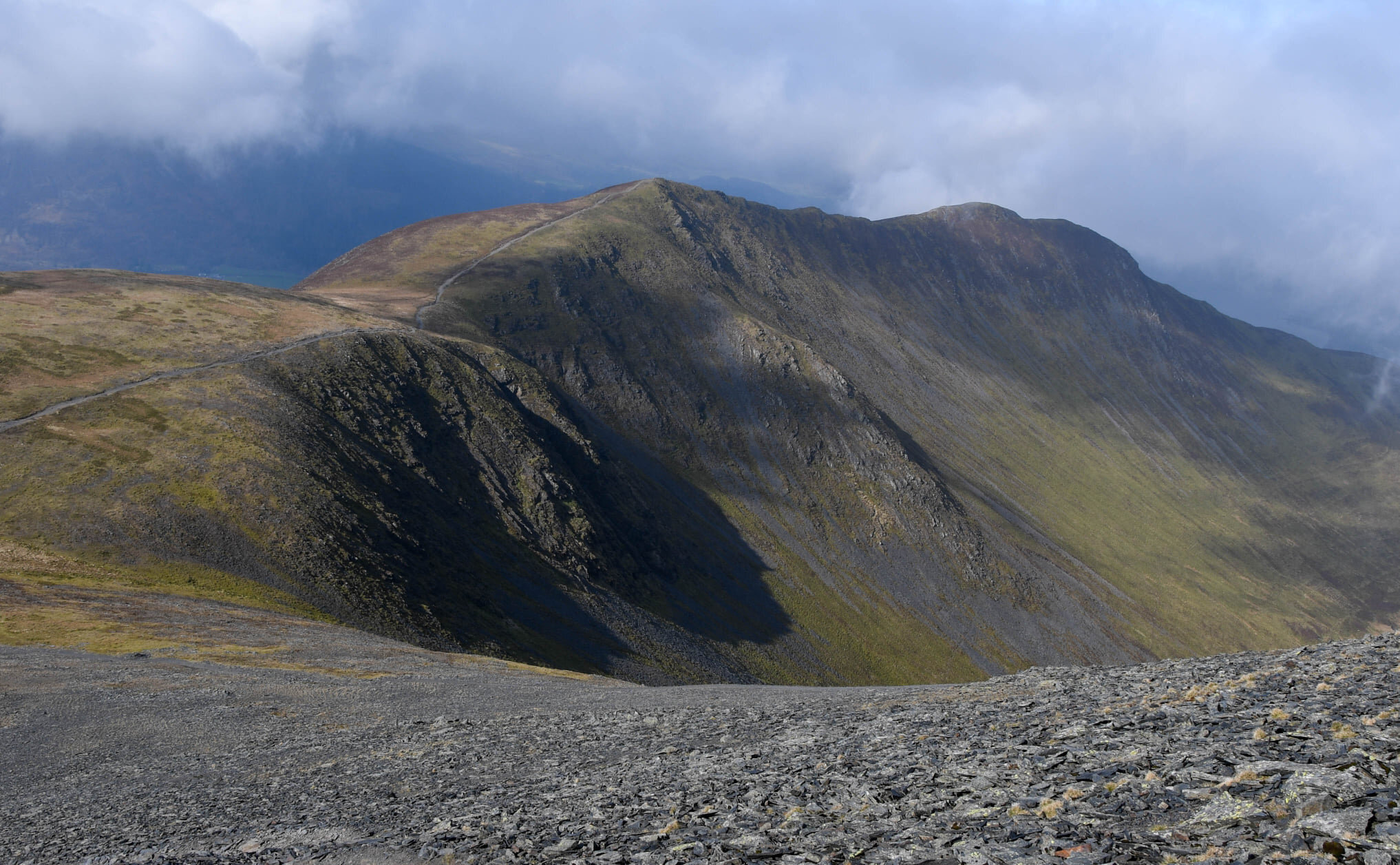
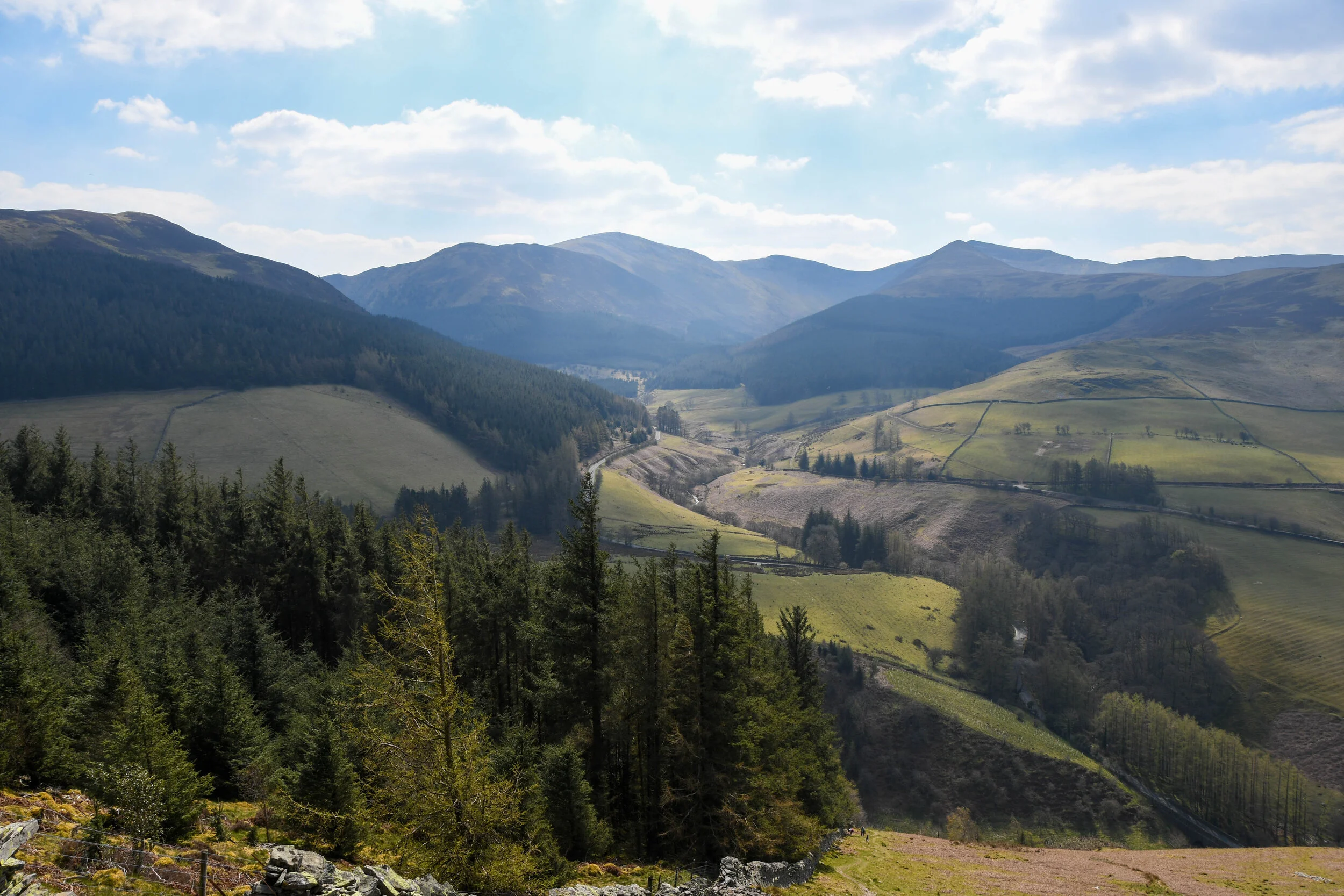
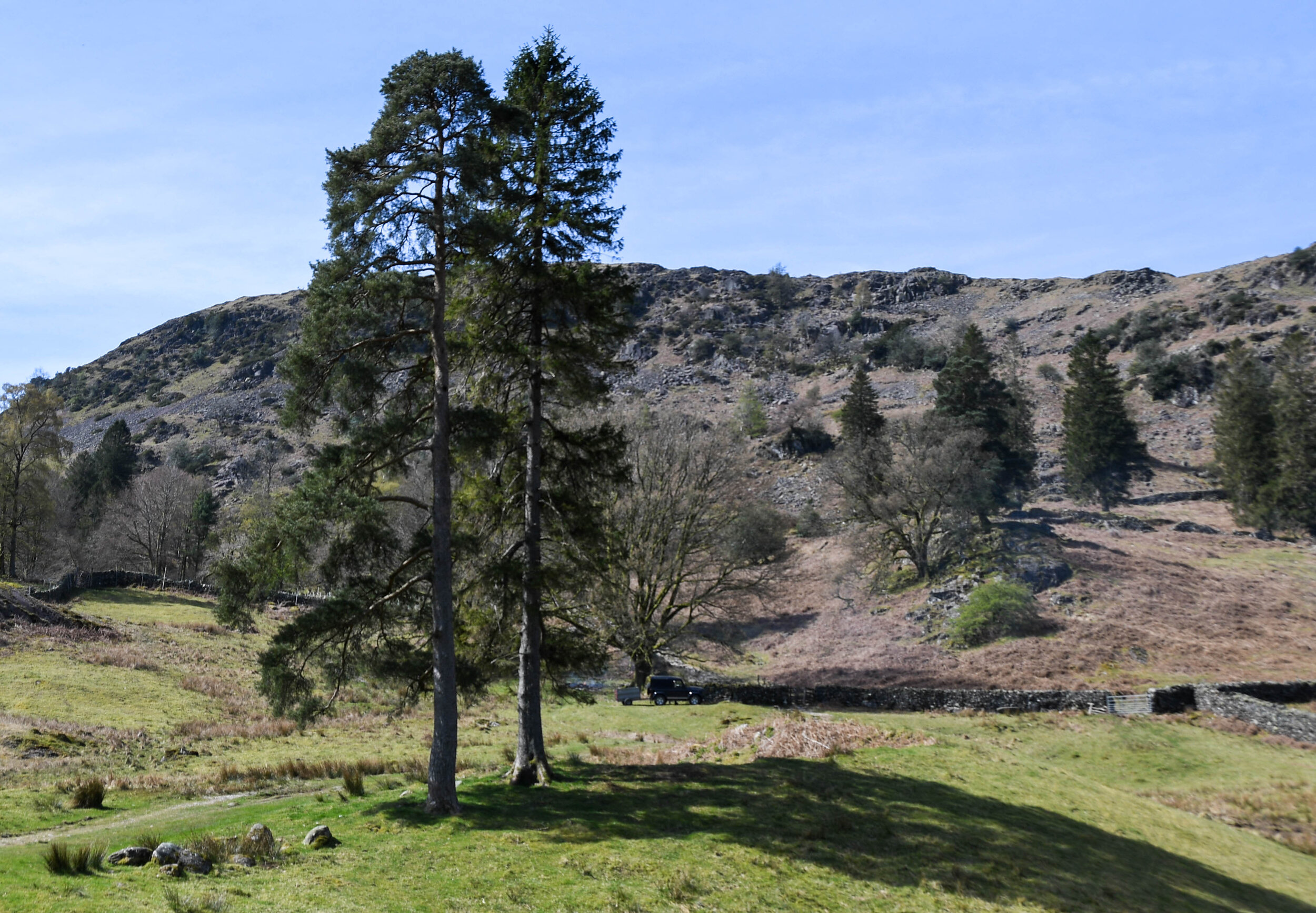
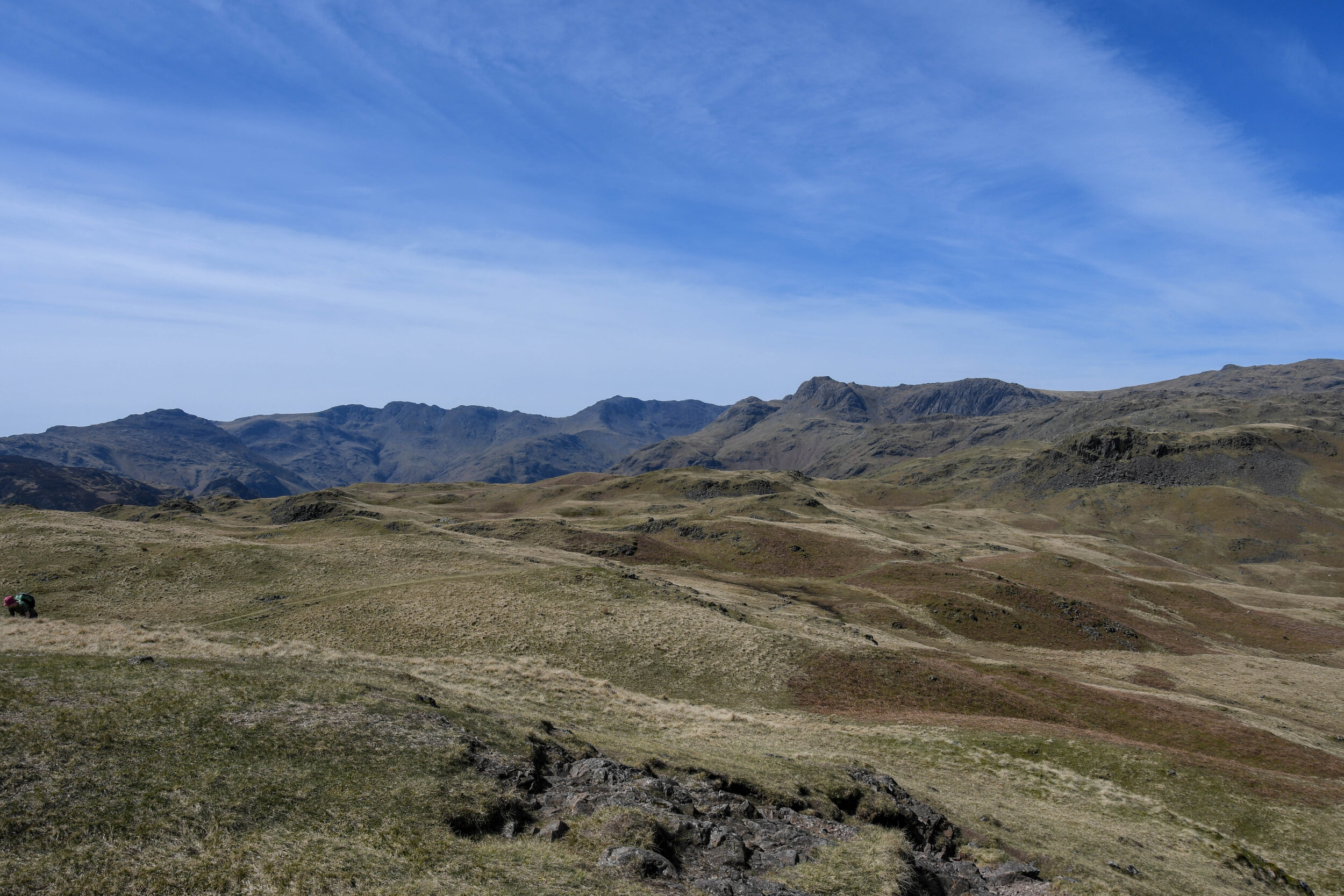
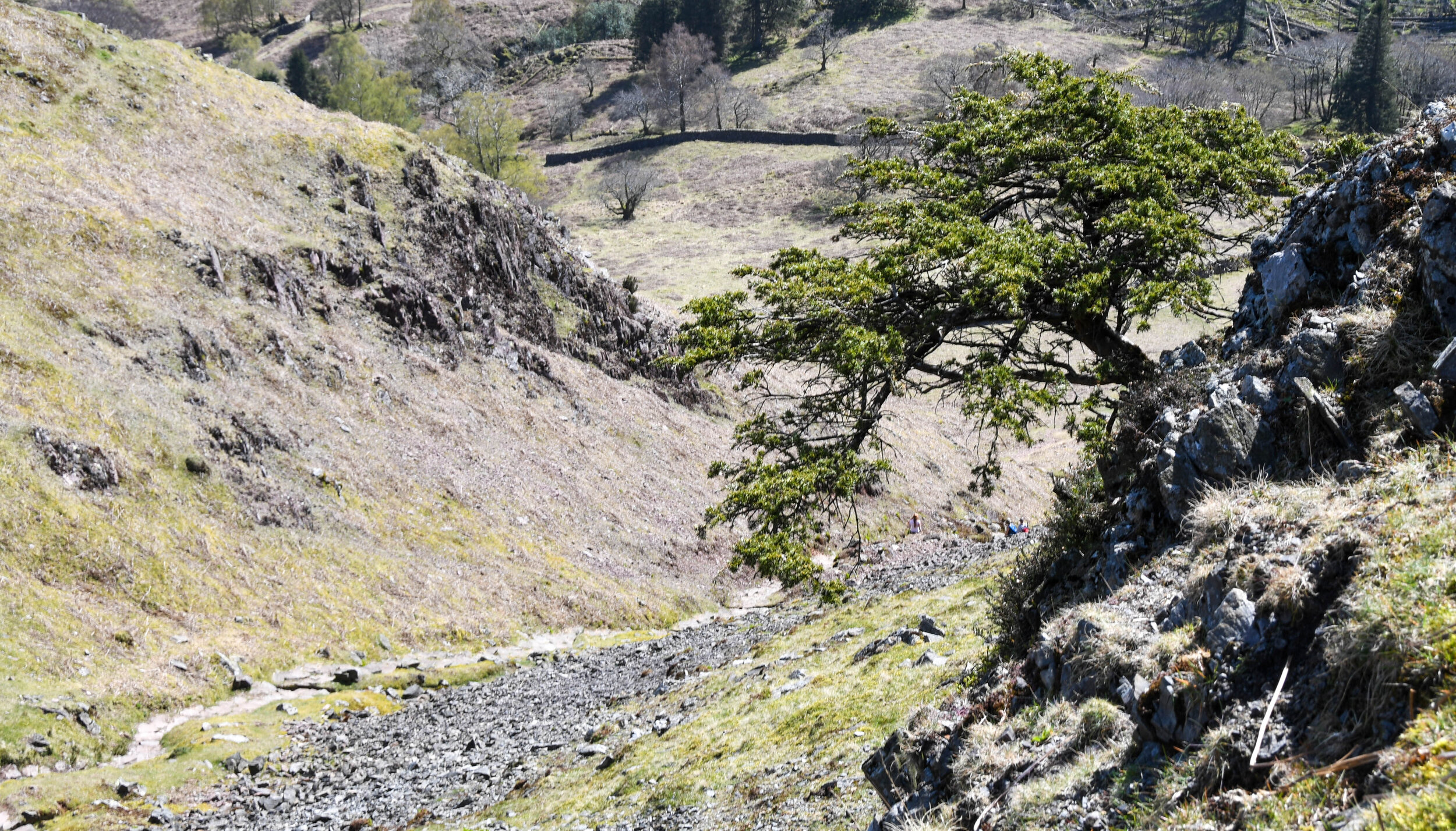
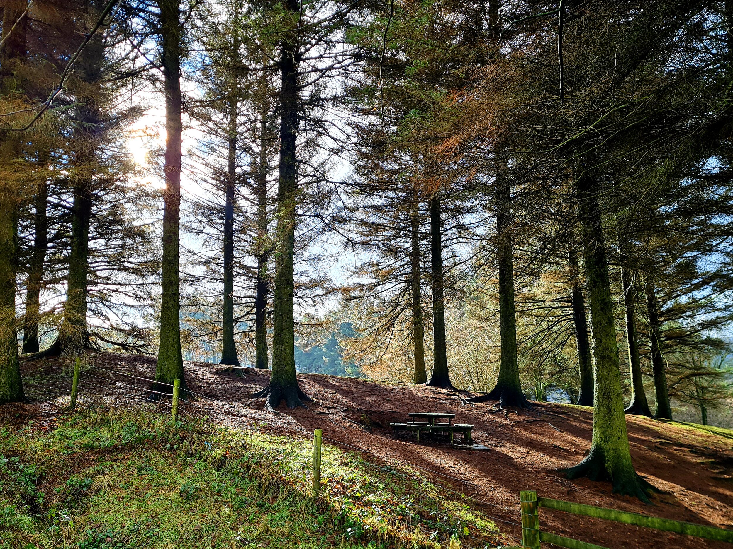
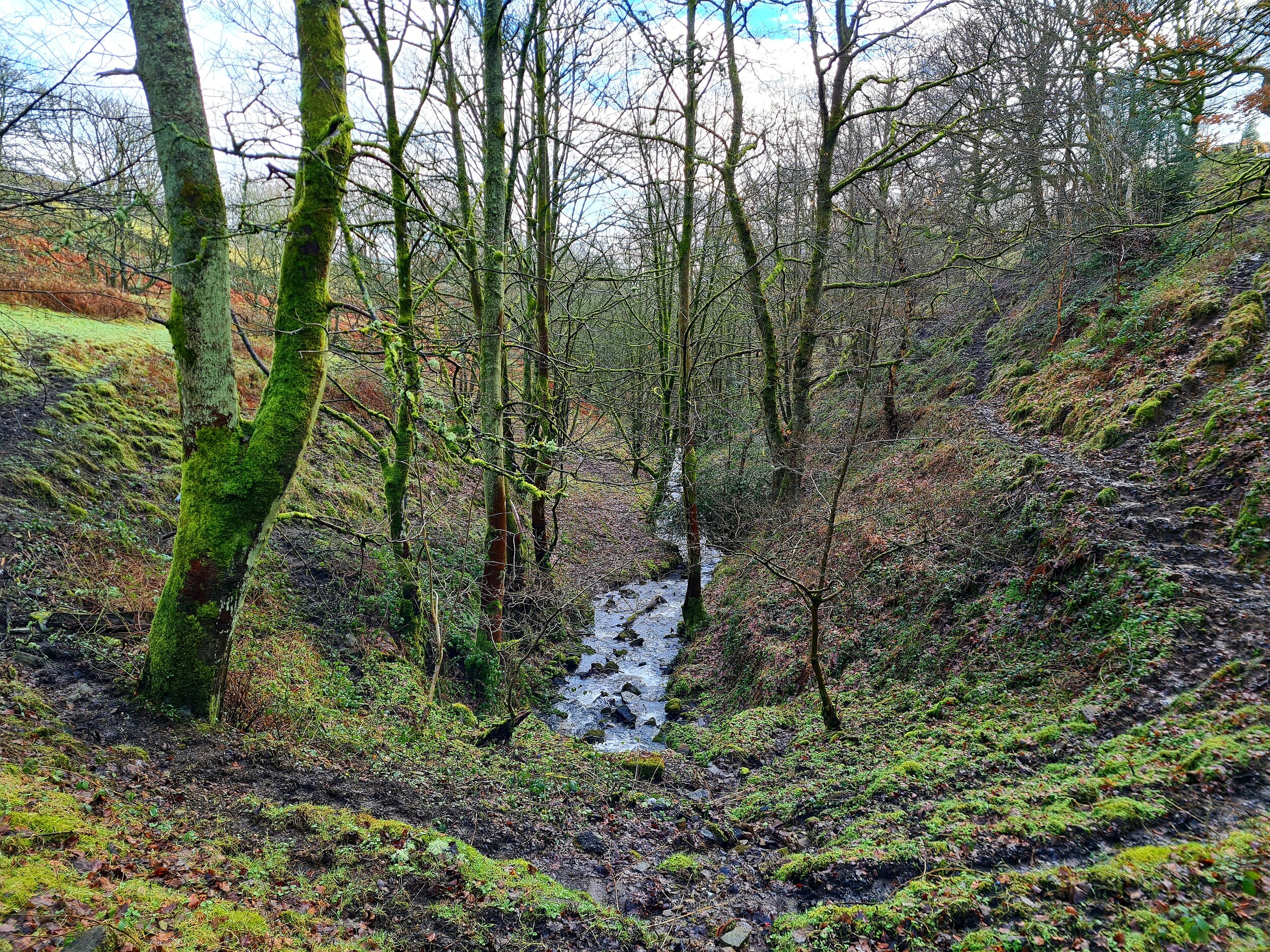
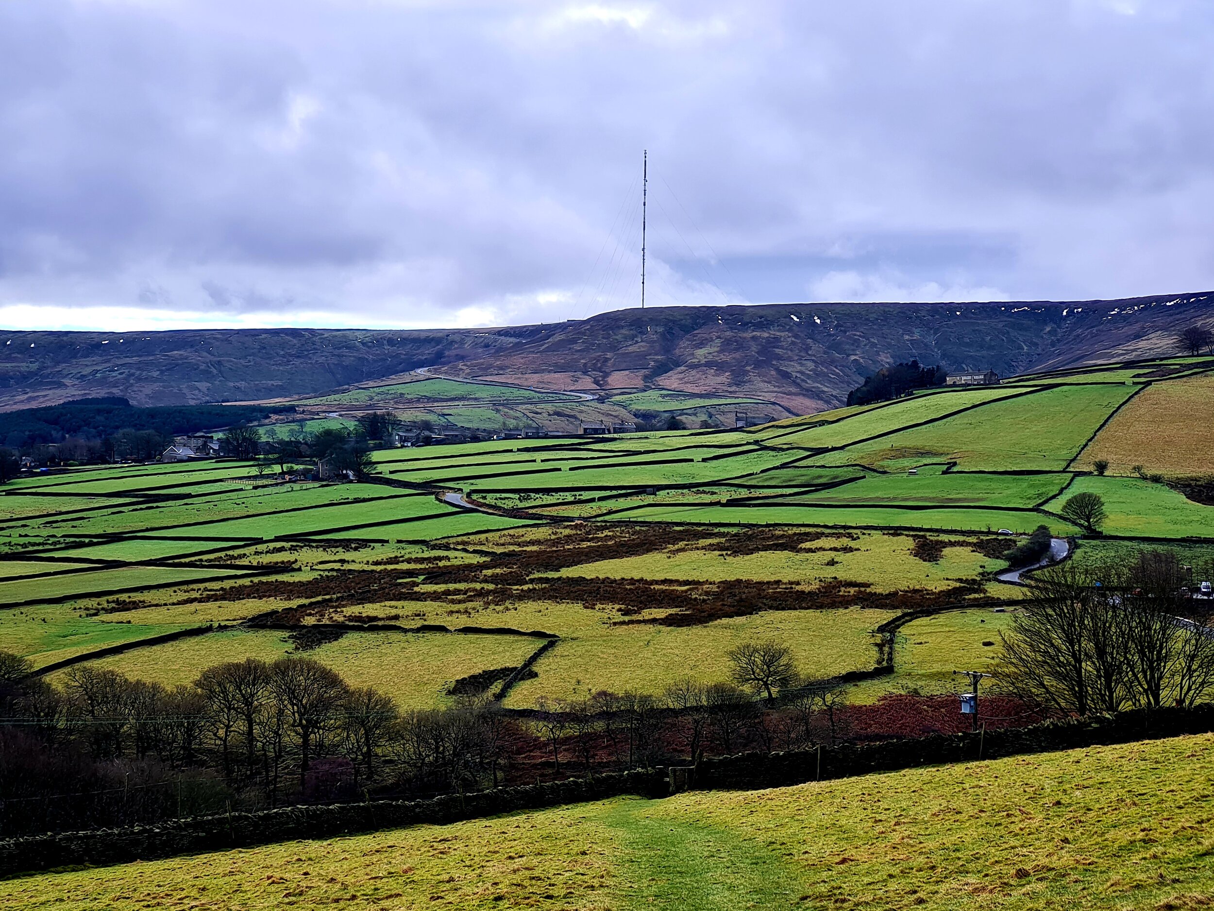
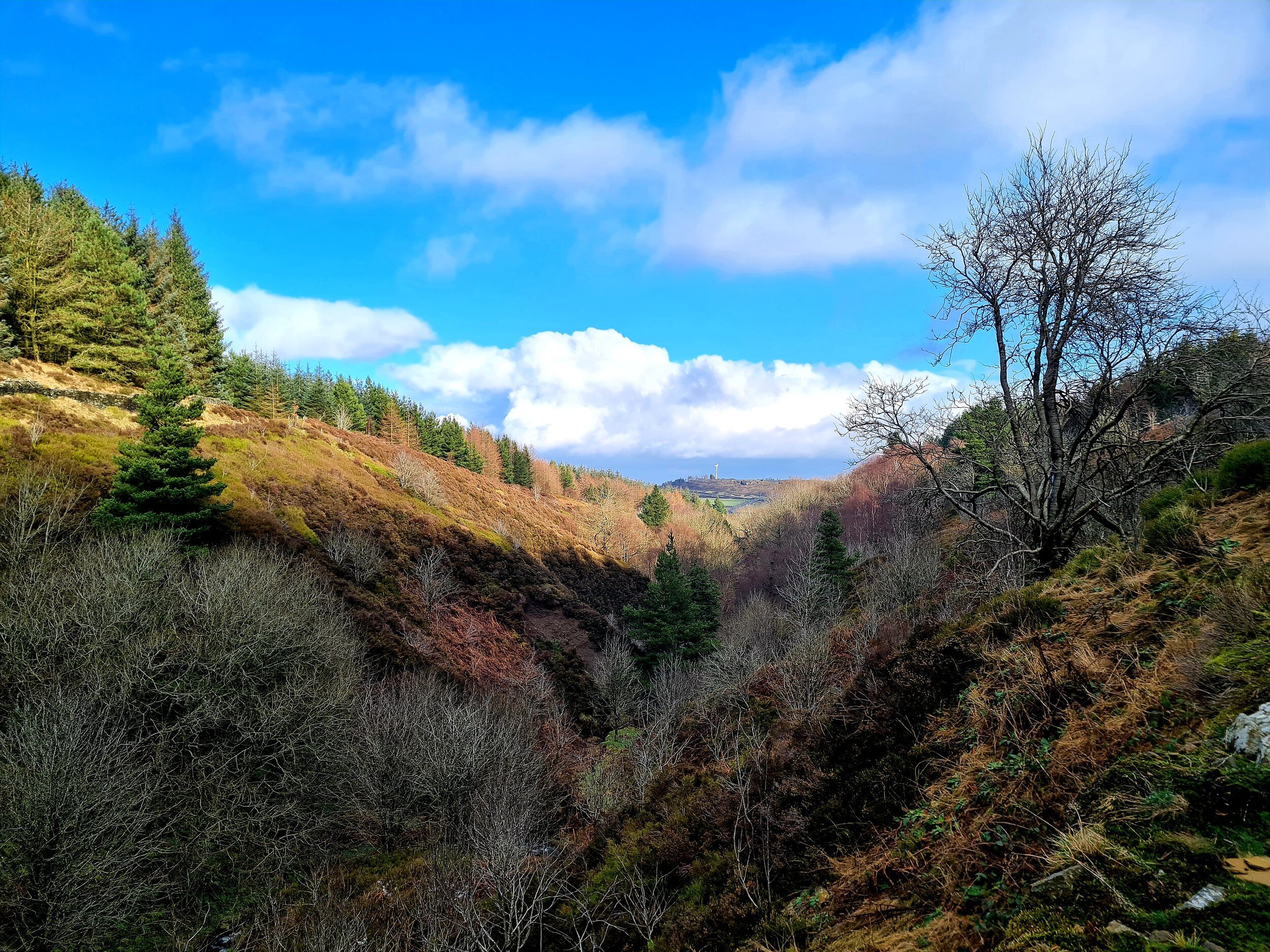
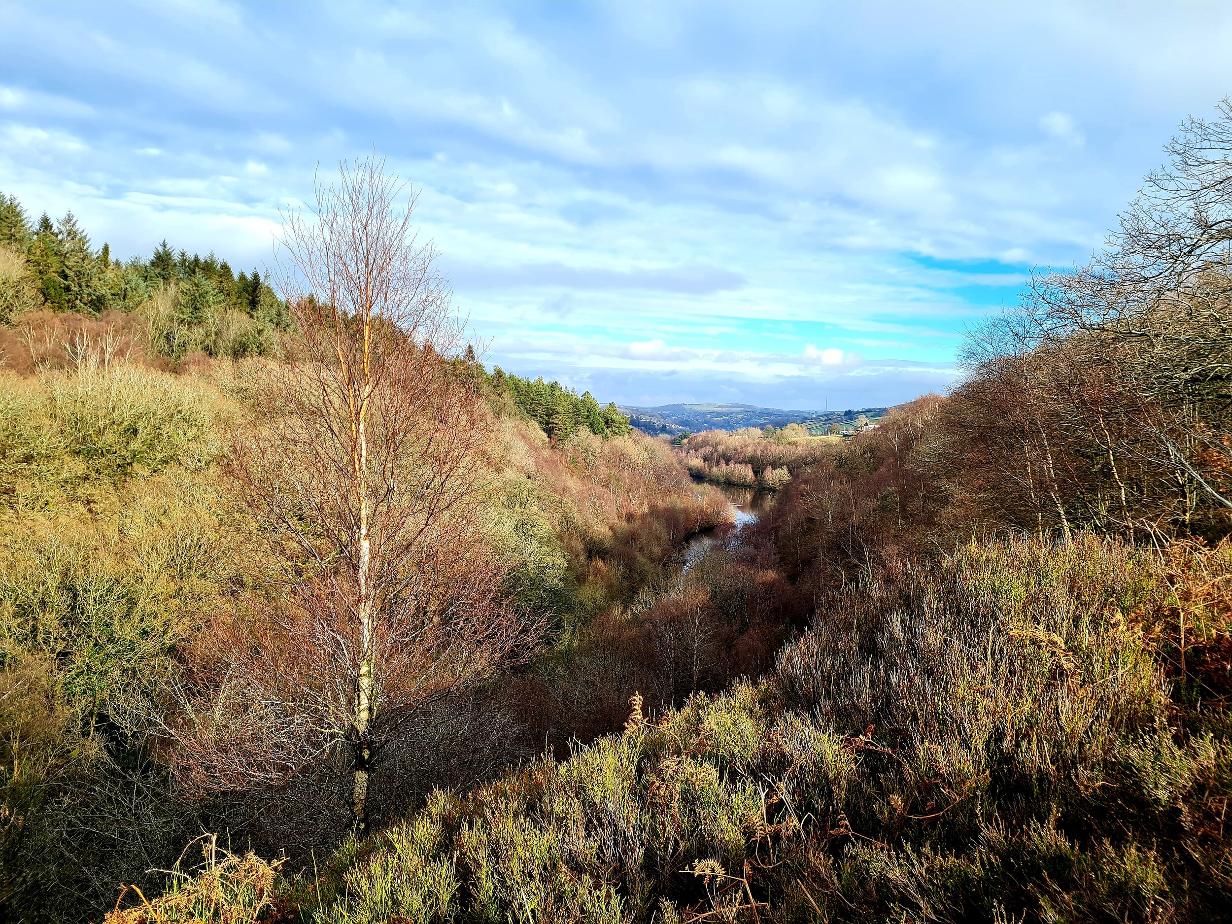
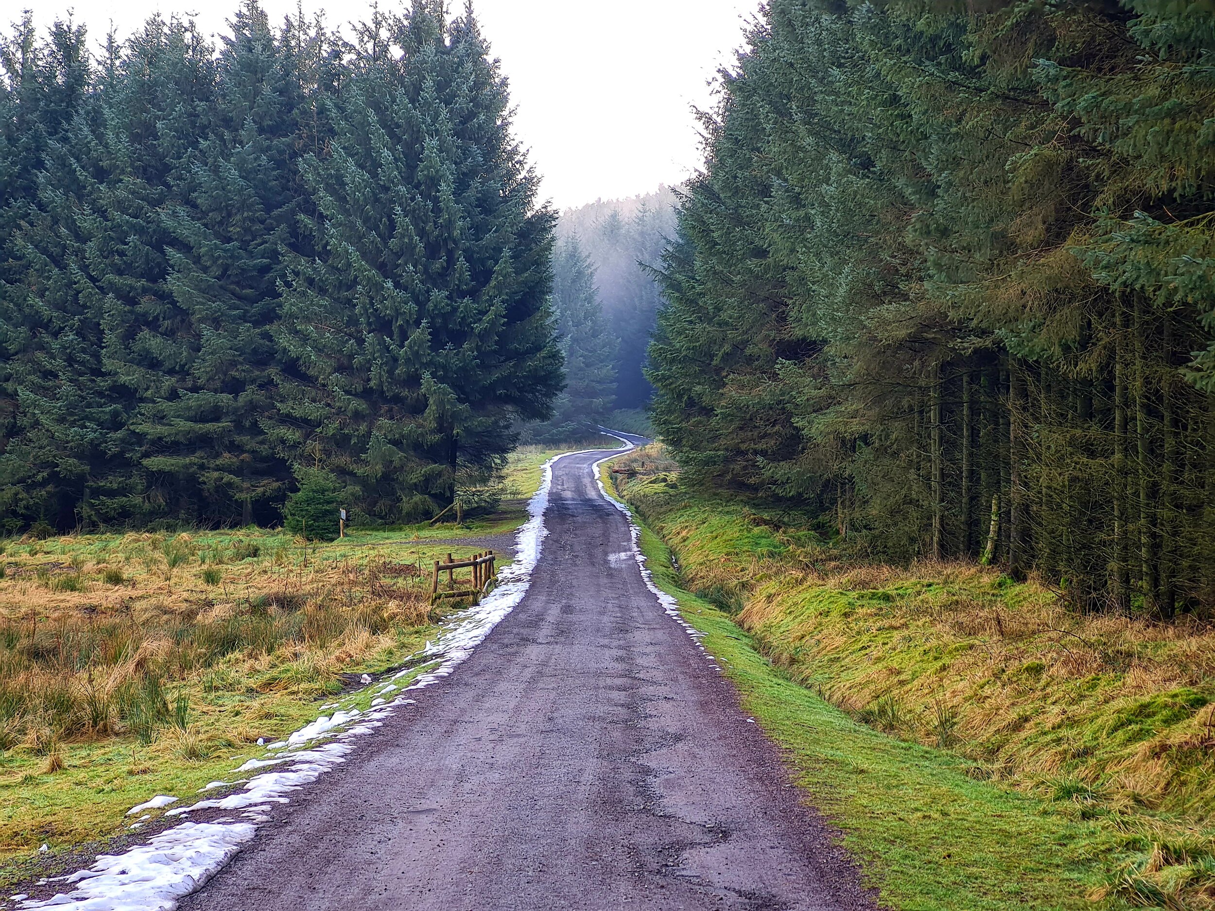
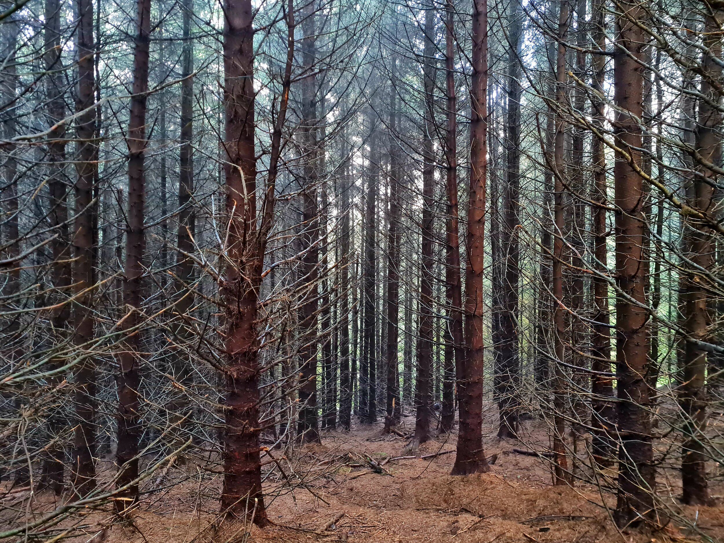
Each leg of the challenge takes you through varied terrain, from steep ascents and rocky ridges to open moorland where paths are scarce, and your compass becomes your best friend. The unpredictability of the Peak District’s weather only adds to the excitement—and the difficulty.
The Start Line: Optimism and Preparation
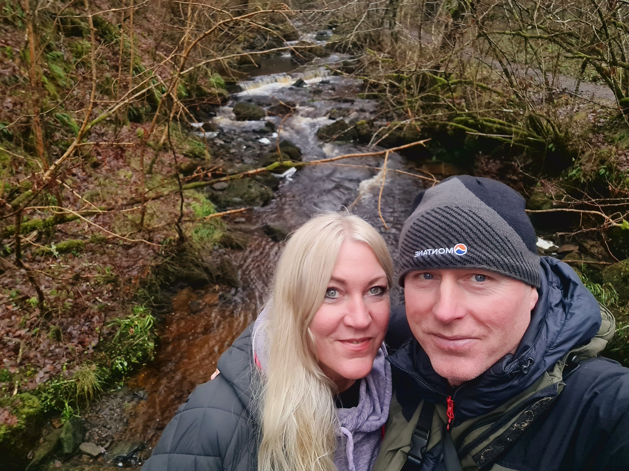
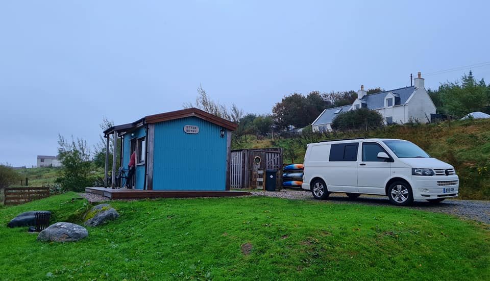
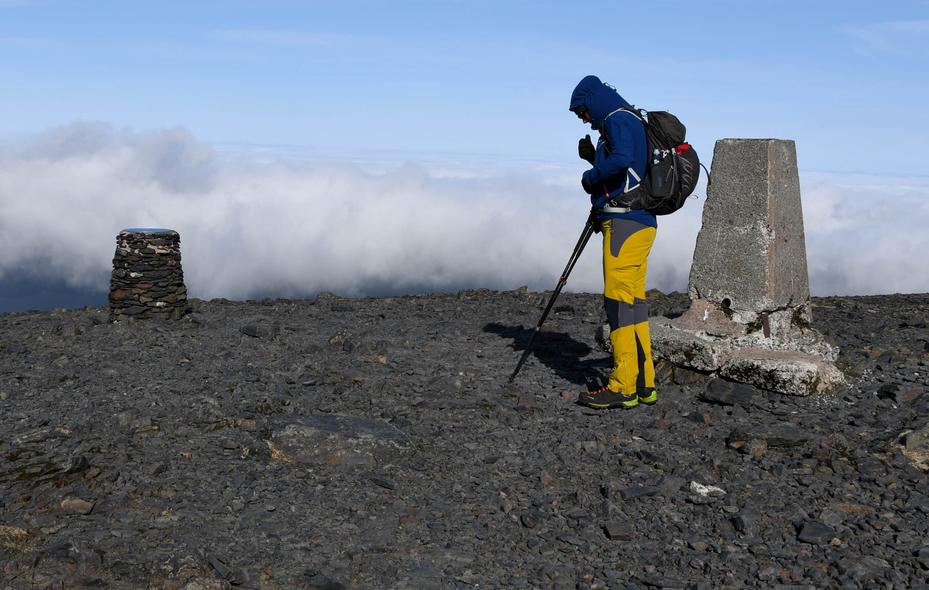
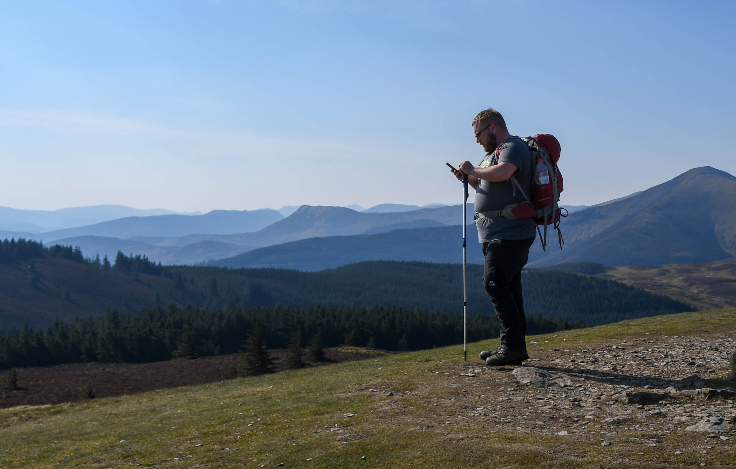
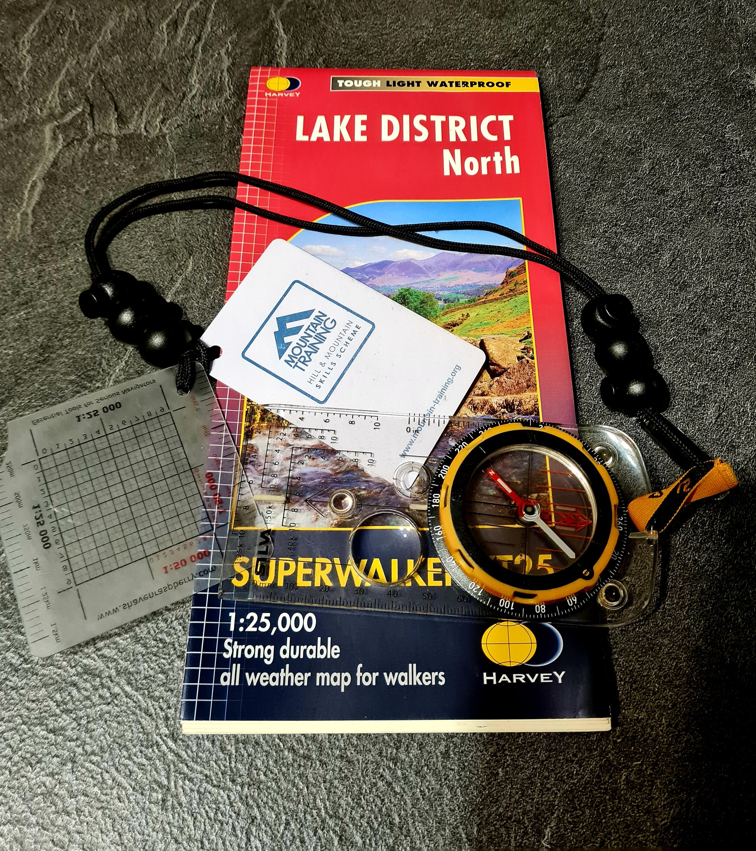
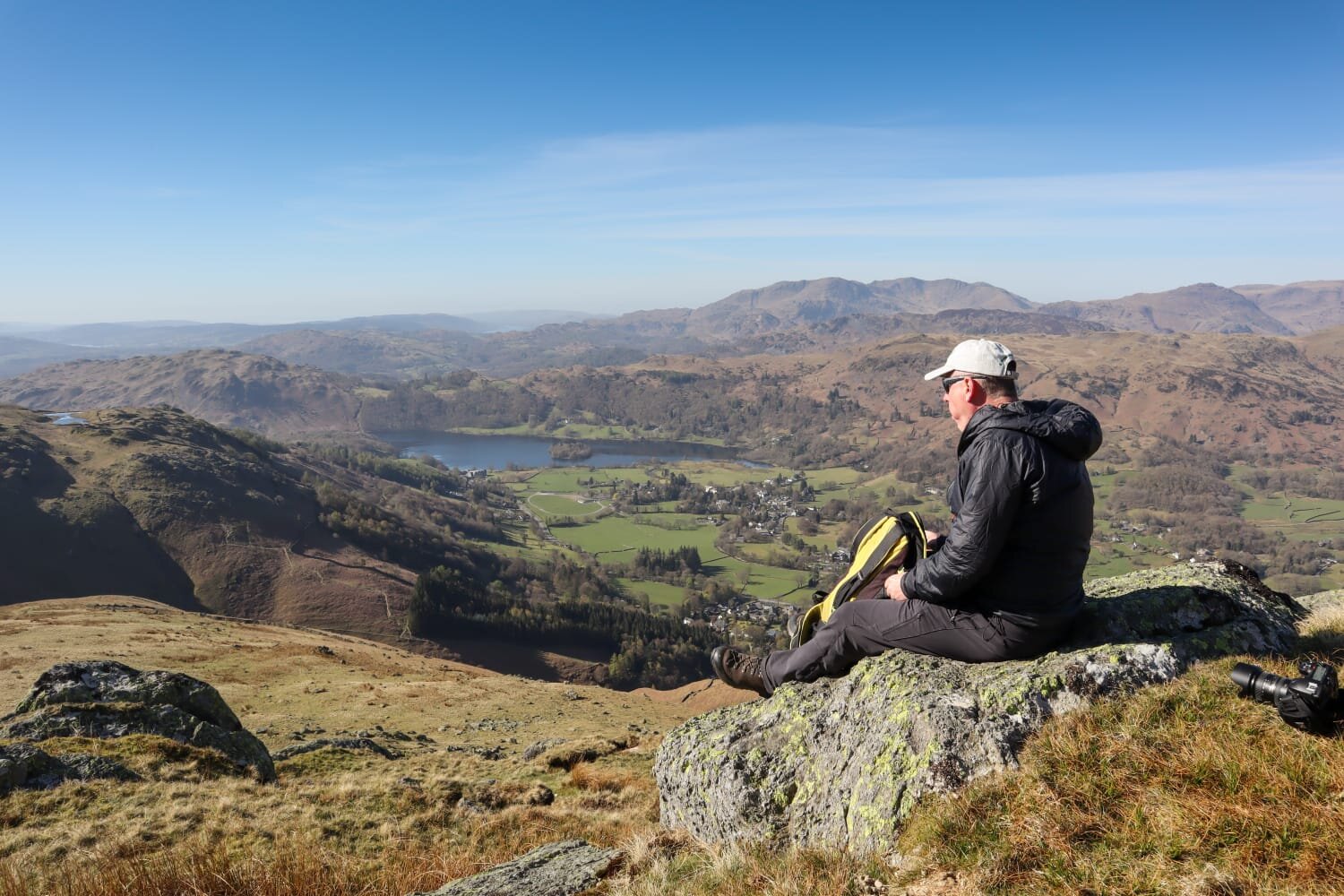
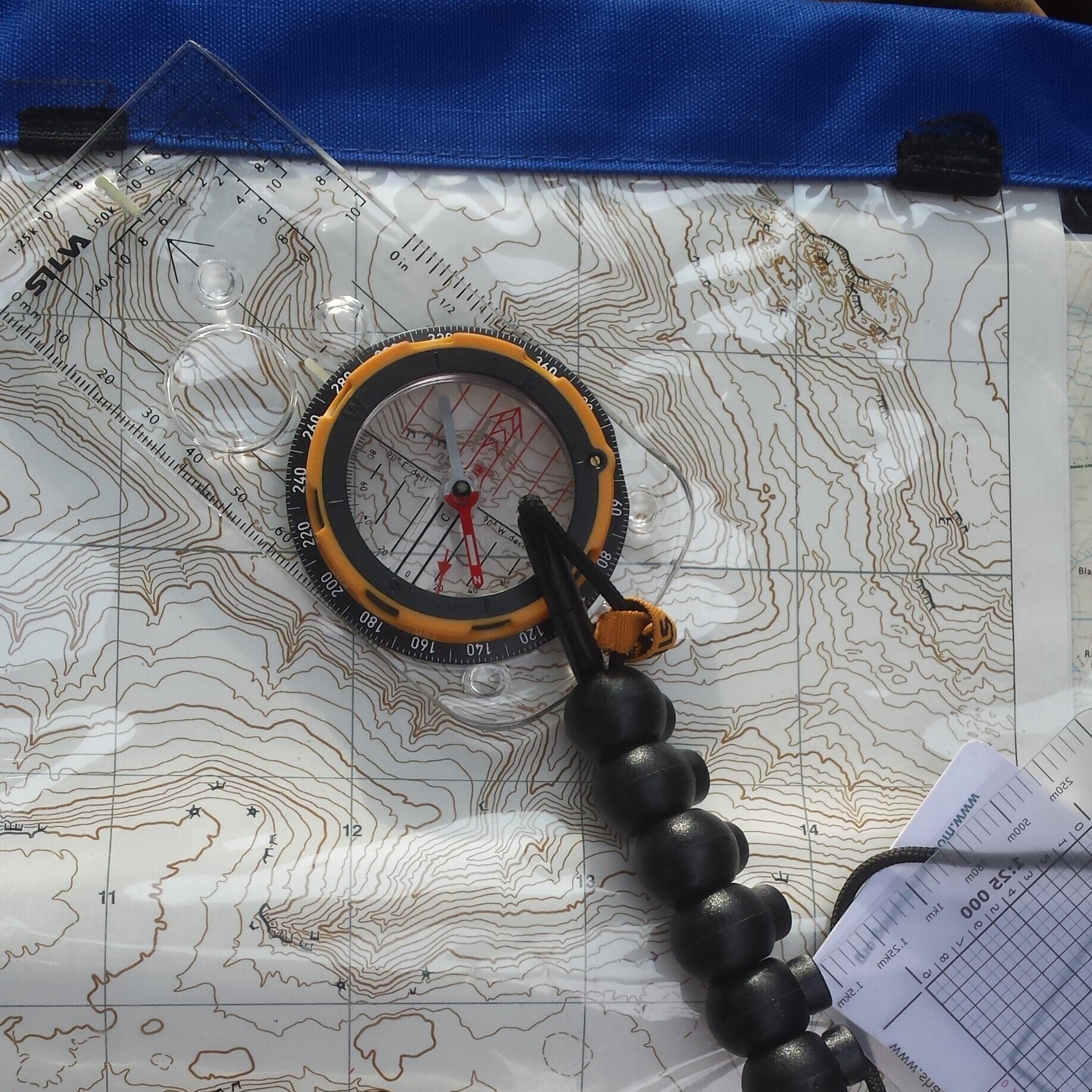
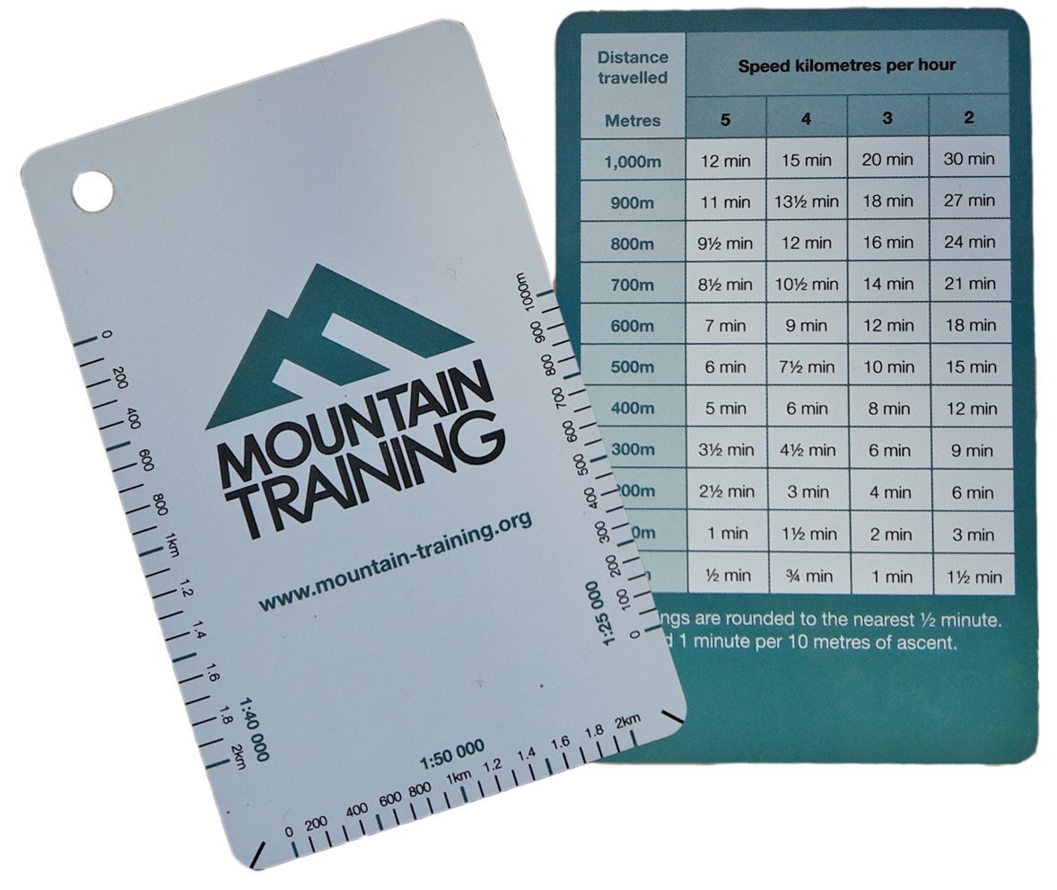
I’ve always enjoyed testing my navigation skills, so I approached the challenge with a mix of excitement and nervous energy. My gear was carefully selected: waterproof layers (a must in January), an extra layer, a reliable compass, my trusted OS map app, and plenty of snacks, with my little stove an an unlimited supply of coffee sachets, to keep my energy up.
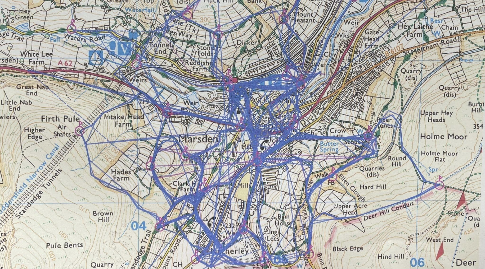
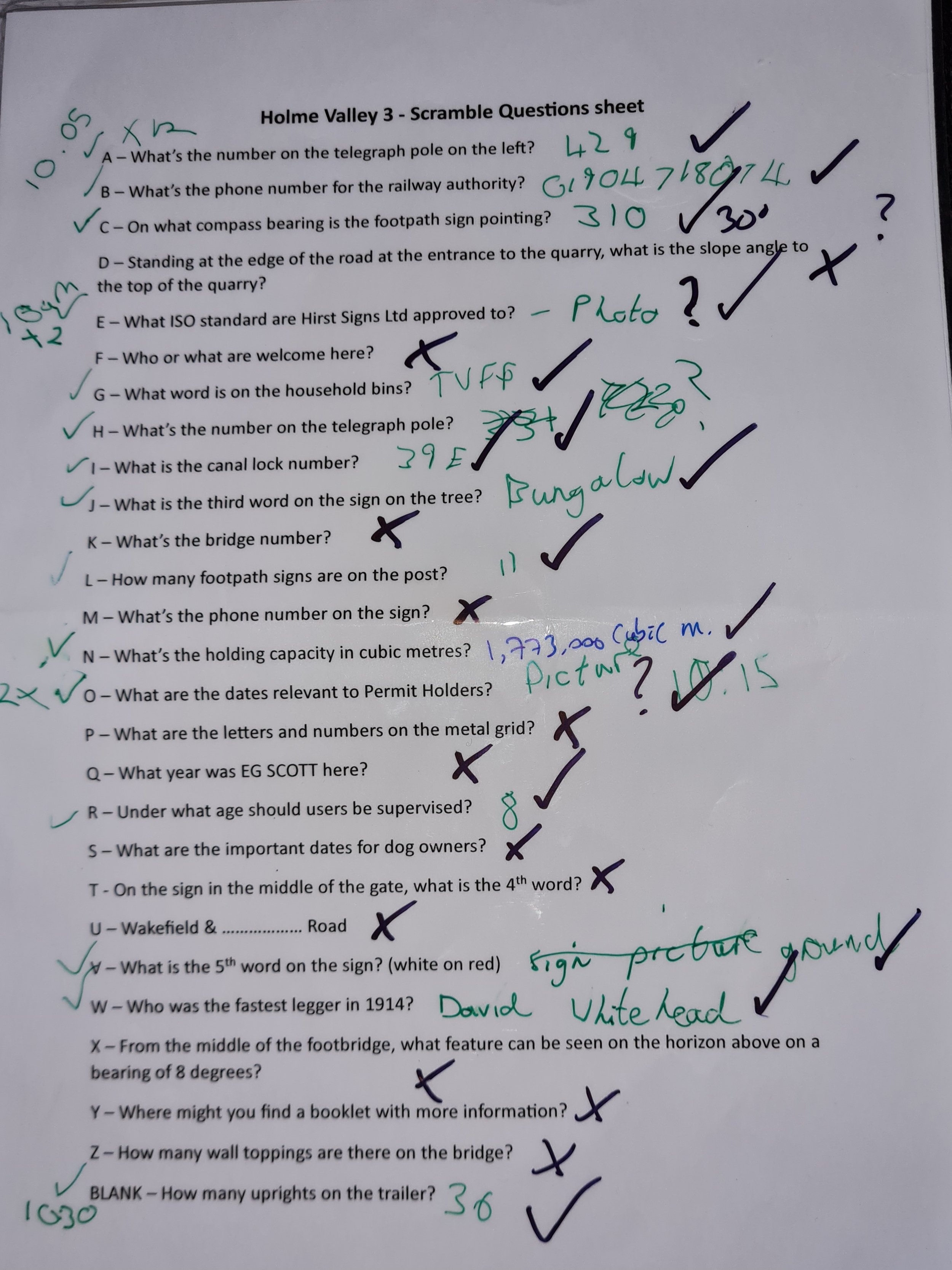
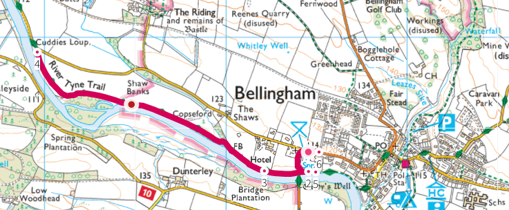
Joe Brown CBE, OBE was also known as the ‘Human Fly’, and whilst he worked as an instructor at an outdoor education centre just outside Buxton, he carved a series of 20 numbers into rocks around a stunning 17 mile circuit. With the numbers roughly 60 years old, some of them are difficult to find or are gone completely. The numbers are either a 6 figure grid reference or 2 sets of numbers, the first being a compass bearing, and the second being the distance to the next location. There is scarce information available on the internet to help you with this challenge. I found a list of vague clues, and a route on a map from a previous challenger, so armed with these snippets of information and some over confidence I set off.
Day 1
The first checkpoint at the rear of the White Hall Outdoor Education Centre went smoothly, and I found myself slipping into a rhythm, the crisp winter air sharpening my focus. At checkpoint 2 the numbers were found fairly quickly, however at least 3 of the numbers were weathered giving me a few options for the next checkpoint location. Instead of having a good think about the various options, I marched on convinced that my first possible location was going to be correct first time. After an hours walk the challenge quickly lived up to its reputation, and I found myself in the middle of some moorland. It was clear to everyone in the world but me, that I was in the wrong location. Some time later I realised my mistake and then marched an hour back to a location I had walked past an hour earlier. In addition to this adding a couple of up and down miles onto my journey, this was a massive learning curve, and a stark reminder to check the options on the map before you set off onto the next checkpoint.
Eventually, some 2 hours after finding the numbers at checkpoint 2 I found the numbers at checkpoint 3. Luckily for me, these numbers were quite clear, with no obvious weathering, and with quite a detailed clue for the next location I made my way back down hill again. I arrived at Checkpoint 4 and from the clue I was clearly in the correct location, I was joined by 3 walkers who knew about Joe Brown and even helped me look for the numbers for a few minutes. After about an hour of searching this was my first DNF (Did Not Find) of the day, and likely not to be my last.
Without the next set of numbers, I was doubting that I could continue, but I had a map downloaded from the internet that a previous challenger had uploaded, and some vague clues for the rest of the checkpoints. So undeterred I soldiered on but I was unable to find Checkpoints 5.
From the list of clues I knew exactly where Checkpoint 6 was, so I continued on to that location for a quick easy find. at Checkpoint 6. There were 2 sets of numbers here, so I put some numbers onto my compass and set off on a bearing for a relatively short distance for another quick easy find at Checkpoint 7. The numbers at 7 indicated that the next Checkpoint was over a km away, and there was only about an hour of daylight left, with my van still some distance away. Reluctantly I headed back to the van, knowing that I would be returning the following day.
Day 2
A later start than I had wanted, and as I set off along a disused railway the thick mist rolled in, reducing visibility and making it nearly impossible to rely on distant landmarks. Some 30 minutes later I arrived at Checkpoint 8 where it took me about 10 minutes to find the numbers, and with a huge sigh of relief I was on my way again to the next obvious location.
A bit of a trudge uphill to Checkpoint 9, where I spent about an hour looking for the numbers in the frozen terrain, but it was another DNF. Reluctantly I continued on, convinced that I knew the location of the next Checkpoint. A pleasant walk over the misty, frozen moors and dropped down into a more sheltered valley and I eventually arrived at Checkpoint 10.
I was convinced I was at the correct location, but for the life in me, I couldn’t find the numbers (I think they’re still there). I stopped here for a brew and to have a rethink about the challenge. A passing walker stopped to talk, and he had seen the Joe Brown challenge, he had always wanted to have a go, but just couldn’t figure out where to start. After he had gone, I had another quick look around to no gain, then reluctantly headed off down the valley feeling a bit dejected..
Halfway down the valley, I saw something in the bottom of the valley that matched the next clue on the list. I walked down to it, on the off chance that I might find something, and there they were, 6 beautiful numbers at Checkpoint 11, starring right back at me. Felling quite smug with myself, I plotted the numbers into the phone and continued onwards, feeling very chuffed with myself.
At the next checkpoint 12, I found something that resembled the clue and convinced myself that the numbers had been eroded, so I didn’t spend much time here. I trudged on to checkpoint 13 convinced that this would be an easy one. The clue here was an obvious one, but searching around the grounds of an old abandoned mansion house I couldn’t find anything that matched the clue. At this point I was totally demoralised so headed off back to the van, knowing full well that I would have to return for a third time, and at this rate, it might even require more visits.
Day 3
Another late start, but this time I had an excuse, as I had to attend Holme Valley Mountain Rescue Headquarters to collect my Coronation Medal, for 10 years in Emergency Services.
Overnight I had done some more internet research and remarkably, using my phone web browser, rather than my laptop, I obtained a lot more information. Armed with more information, I returned to Checkpoint 13 for a quick easy find in the first place I looked.
So back on track, I marched onwards to Checkpoint 14, I initially walked past the location, but quickly realised my mistake, went back and another quick find at a lovely little location. This was a first, 2 quick finds in a row. The next checkpoint 15, was some distance away, so with my new information I made a slight detour and revisited Checkpoint 4. This was another quick find, and I was kicking myself for not having found it 2 days earlier.
A bit of a walk to Checkpoint 15 and it was a quick find, and I expected to get wet feet reading the numbers, however my summer boots held up admirably. Another set of numbers and I was on my way again. This time up hill, and about half an hour later I arrived at Checkpoint 16.
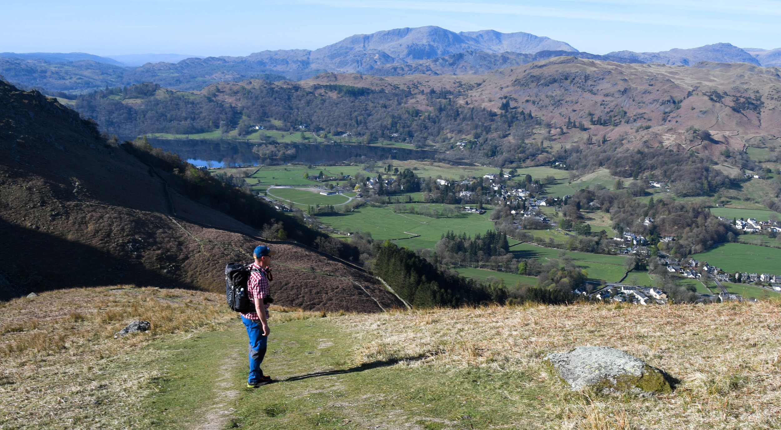
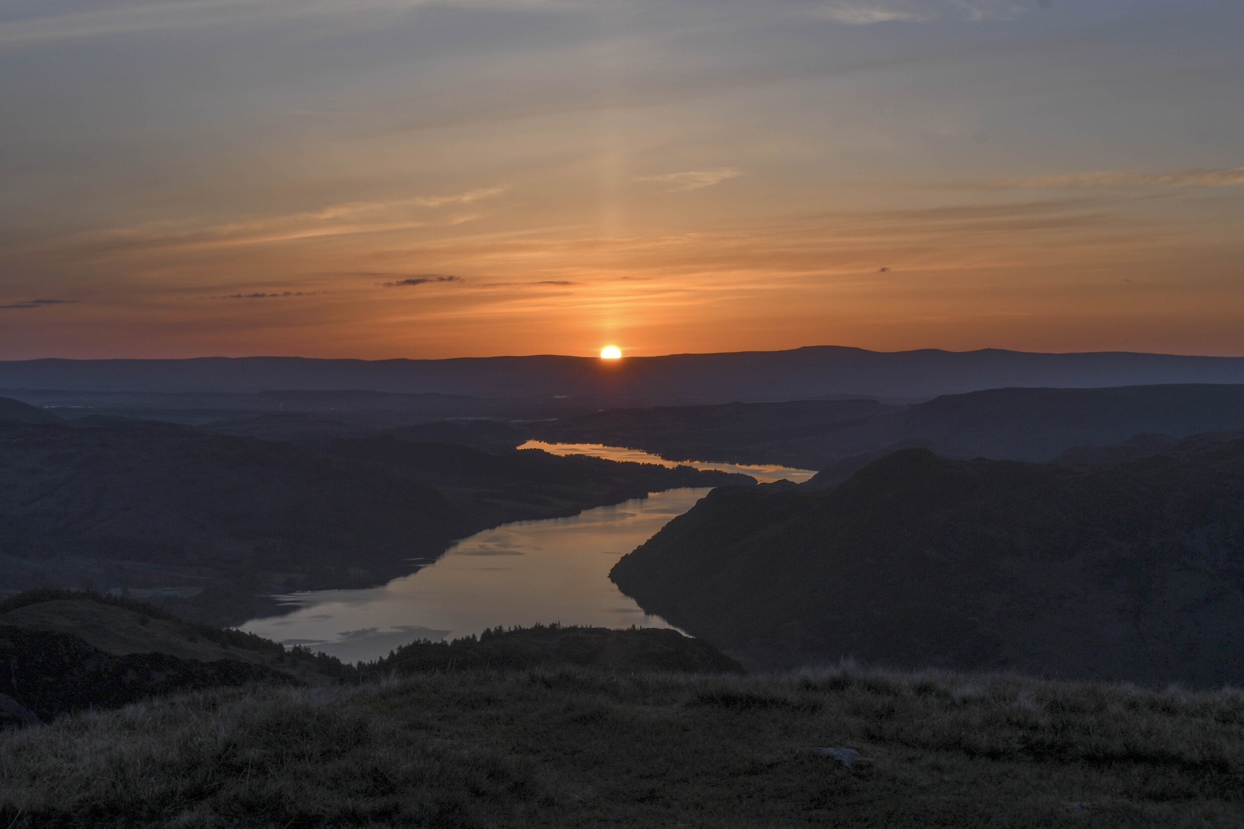
Took a couple of minutes to find this one, but even though I was on a roll I was still relieved to finally see the numbers. I plotted the numbers onto the maps and surprise, surprise it was another up and down to the next location which was in the next valley. At the top of the next hill, I stopped for something to eat and to enjoy the views now that the fog had lifted. I didn’t hang around too long though, as I knew I still had plenty of work to do, and it was bitterly cold.
I eventually arrived at Checkpoint 17, the information I had was that the numbers were on one side of the feature at that location. After about 10 minutes of searching, I turned around and there they were on the other side of the feature. I was a little bit annoyed about the duff info, as I was running out of daylight and knew that I would be finishing the walk in the dark.
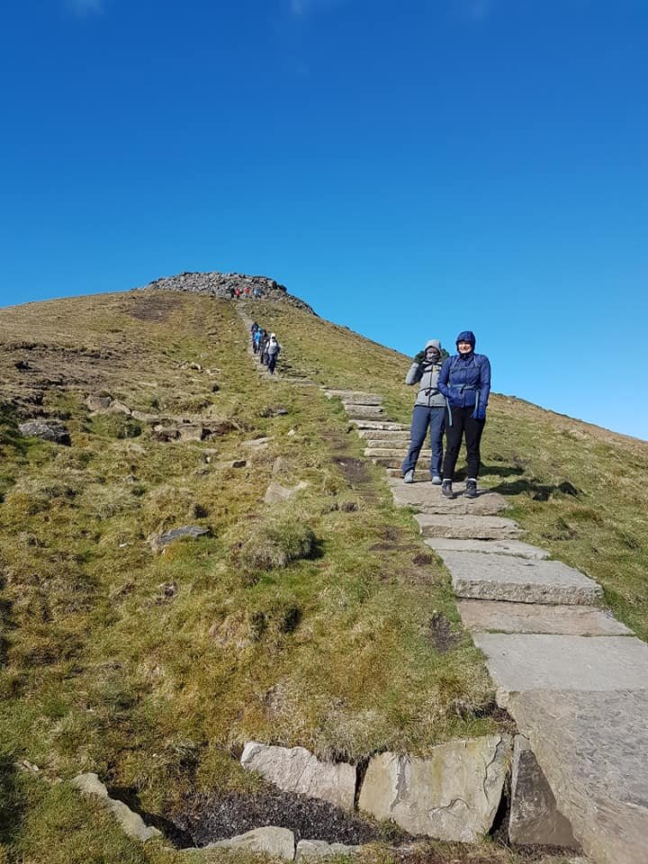
Unsurprisingly, Checkpoint 18 was at the top of a steep climb, and after a slow and steady long slog up the hill I arrived at the location for an instant find.
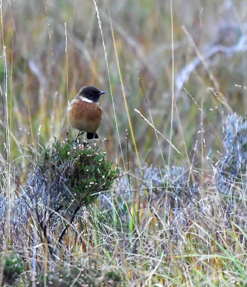
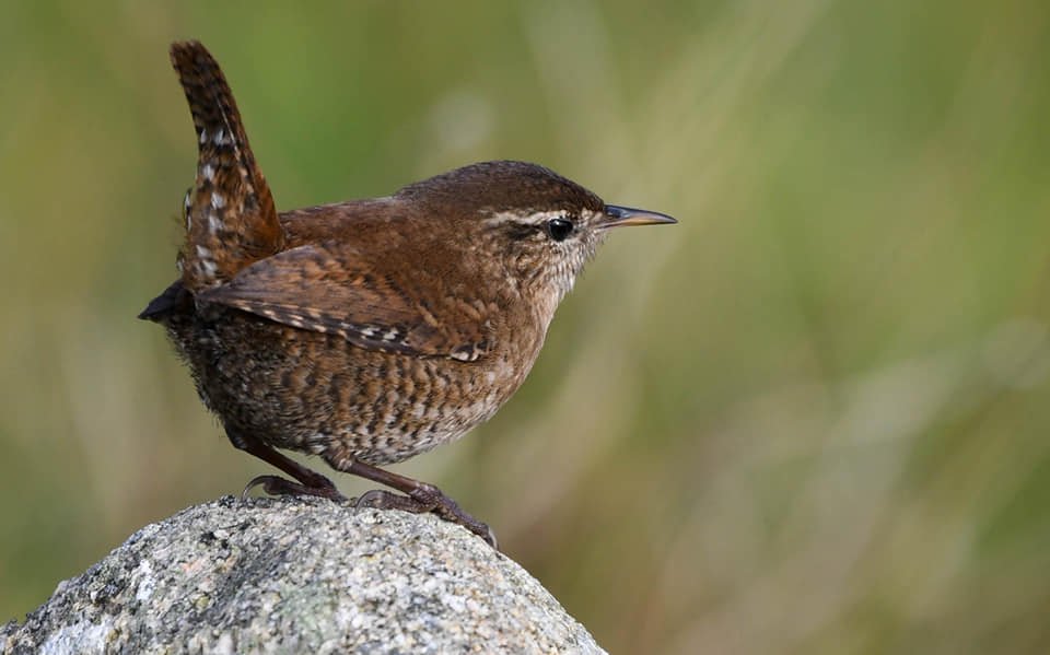
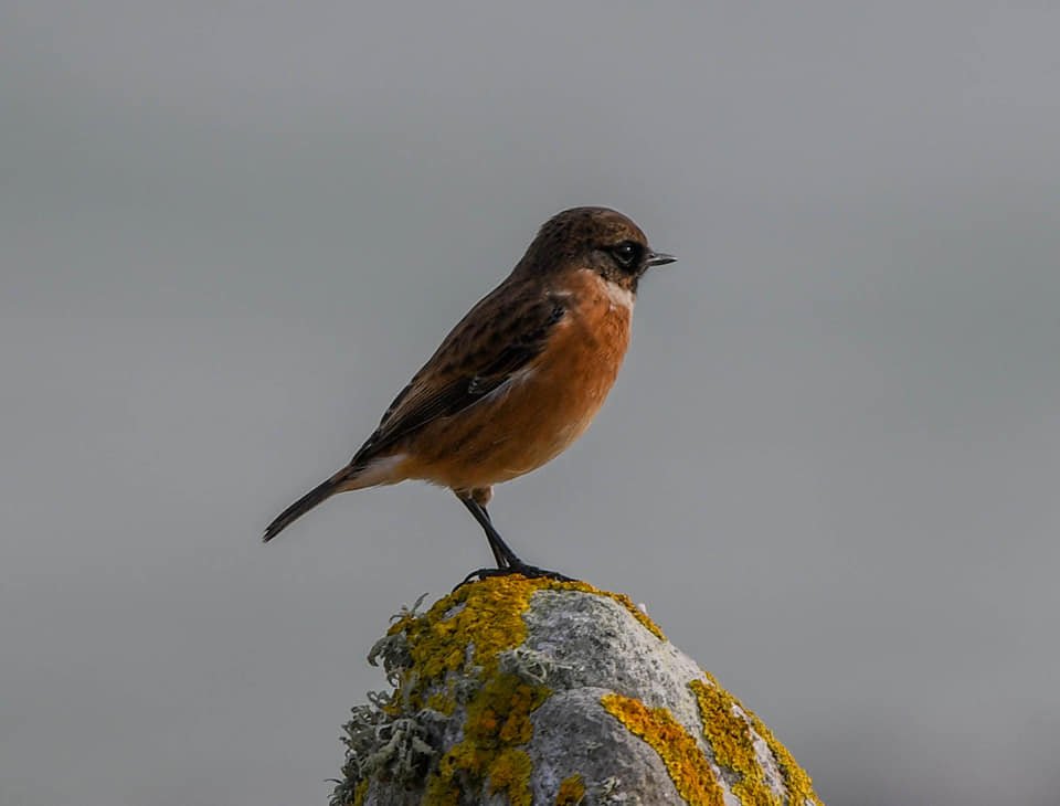
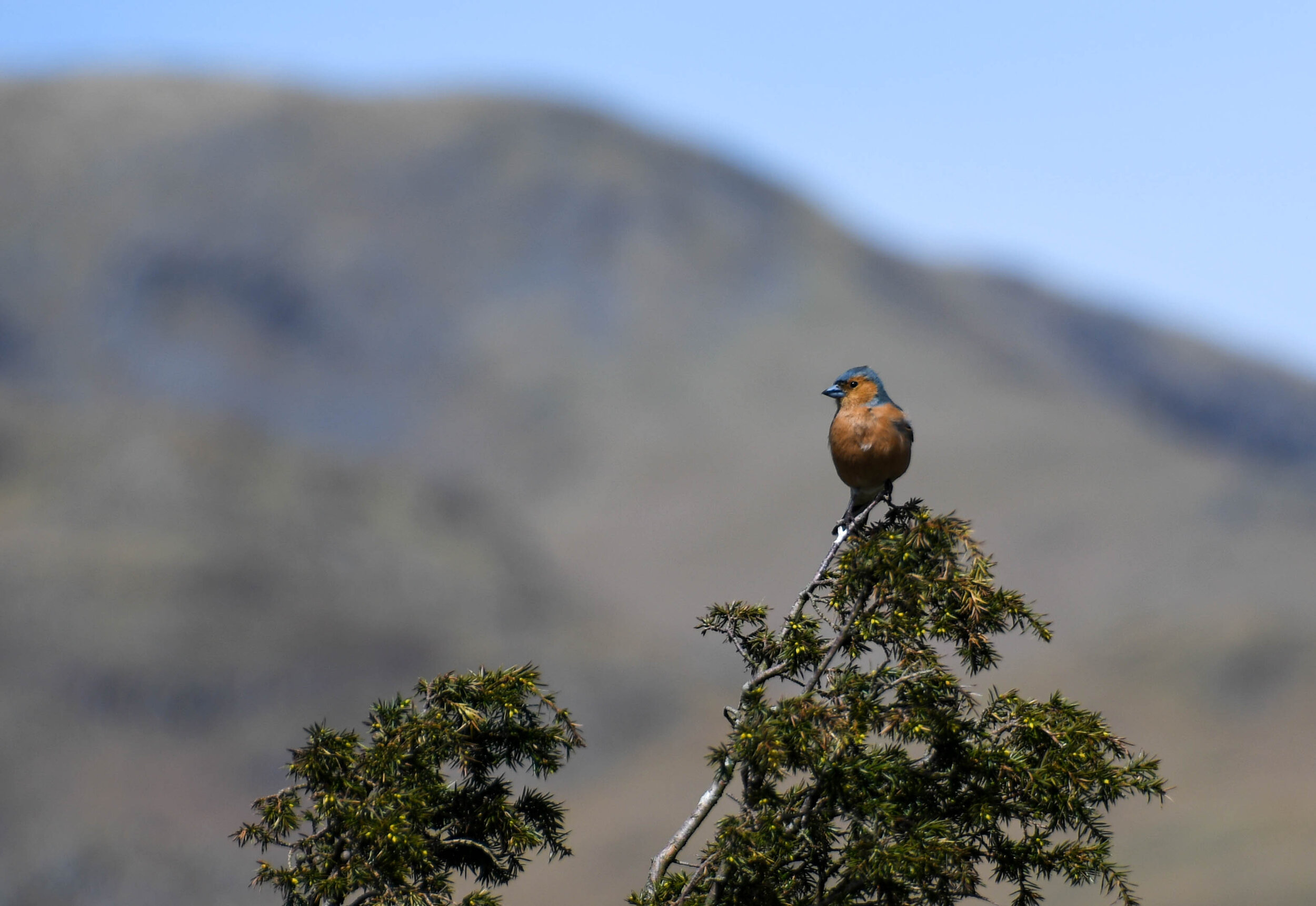
I plotted the grid reference for Checkpoint 19 onto my phone and this was another short steep climb up onto one of the famous Peak District edges. Once up onto the tops, i absolutely loved this section, enjoying the sounds of the Red Grouse, and enjoying the views. Took a while to pick my way along the edge avoiding the peat bogs and eventually I arrived at Checkpoint 19. A stunning location, but I needed my head torch to find the numbers. As it was getting dark I kept the head torch on and dropped down to the final location.
Even though the final location Checkpoint 20 was on open access land, there had been a big fence erected recently which proved difficult to find somewhere to cross over it. I was even shouted at by a farmer down in the valley, but knowing that I was on open access area I continued undeterred. At the final location, it was clear that the clue feature had collapsed and that the final set of numbers were lost forever. I felt a tad sad here that such a unique challenge would end with a DNF.
I trudged back uphill heading back to the Outdoor Education Centre, and finally arrived in the dark. Crossing the finish line was a mix of relief and pride. While I didn’t achieve a record-breaking time, the real victory was in completing the challenge and pushing myself to the limit. It’s experiences like this that remind me why I love navigation and the great outdoors. It was then a couple of miles back to the van, but I didn’t care, as there is something special about walking in the dark.
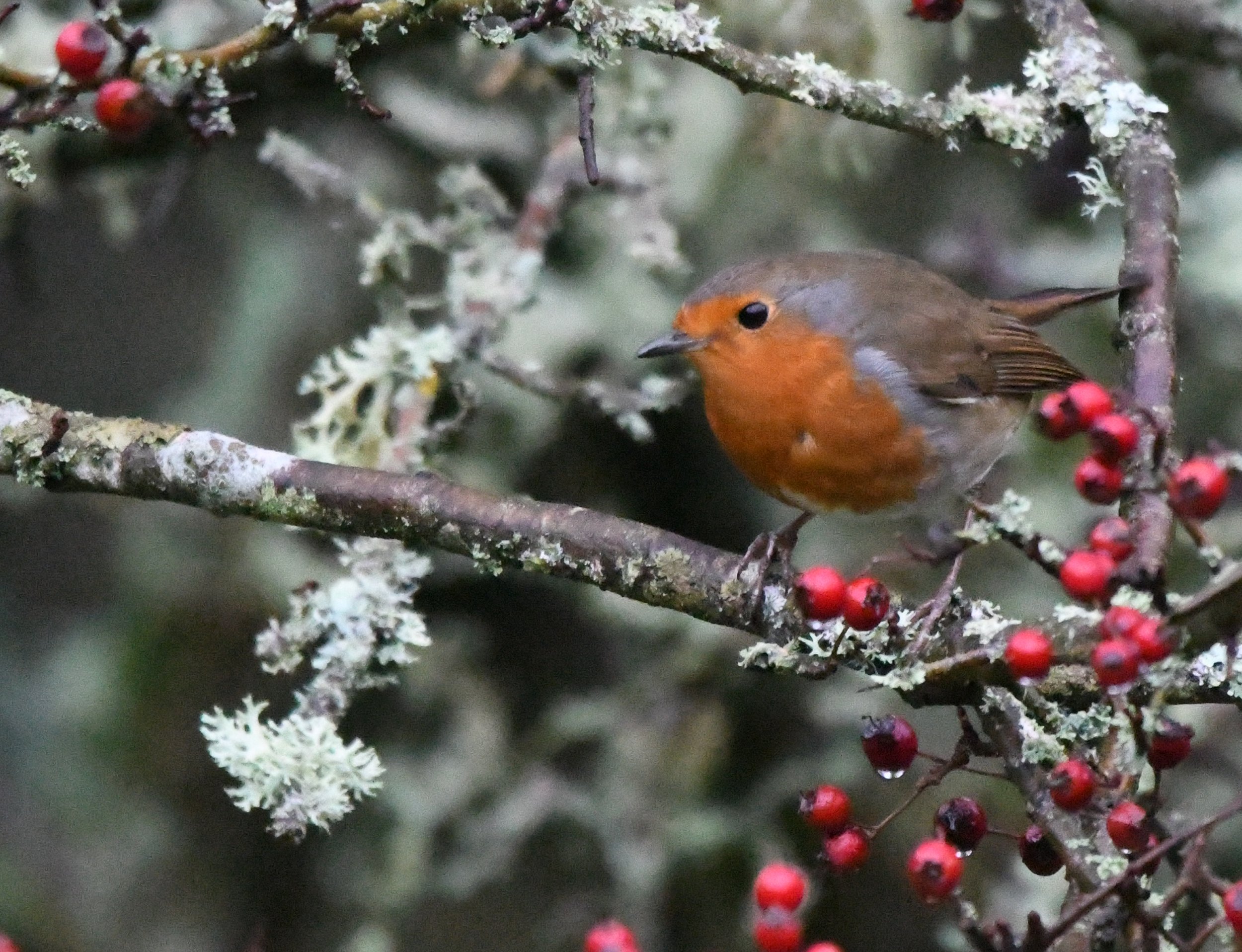
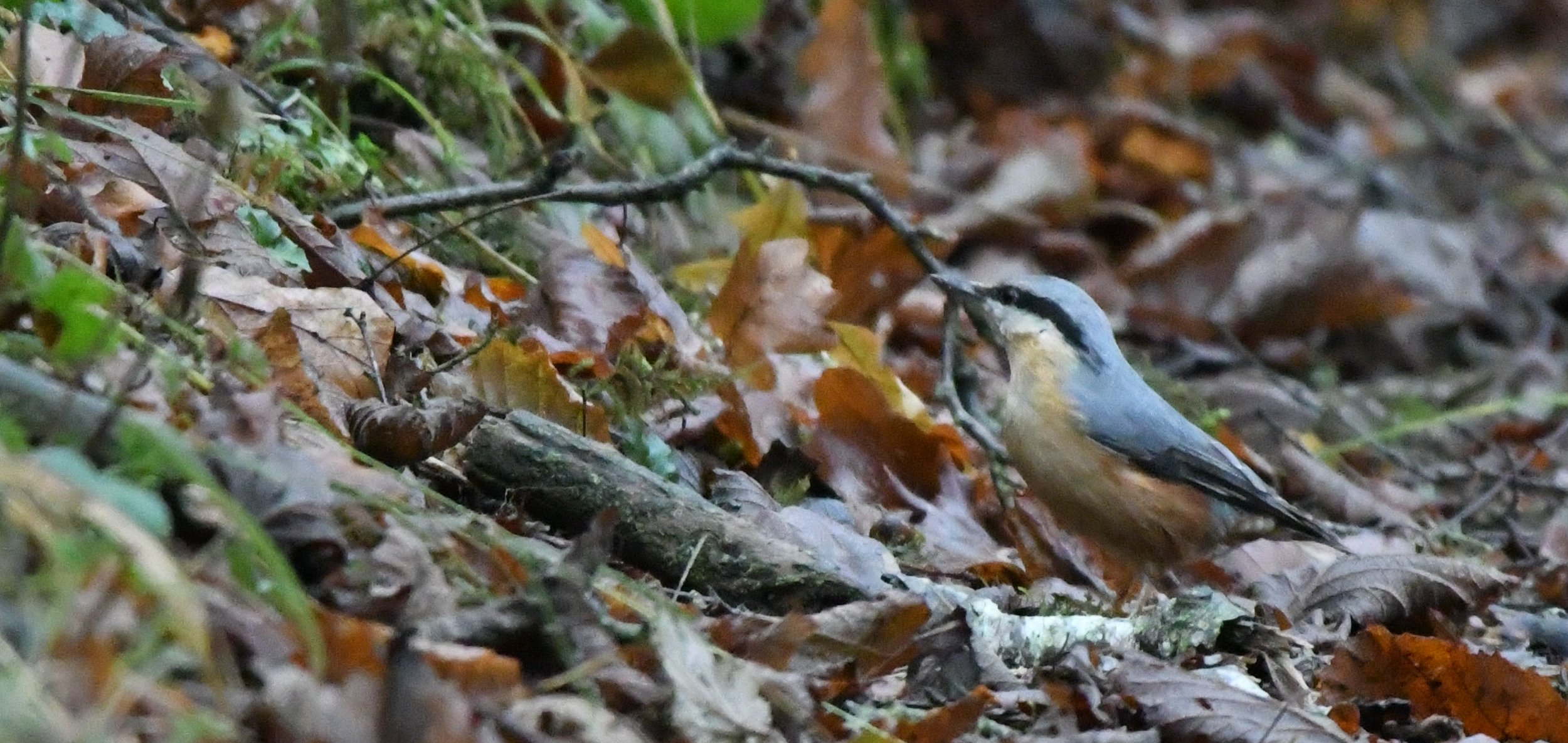
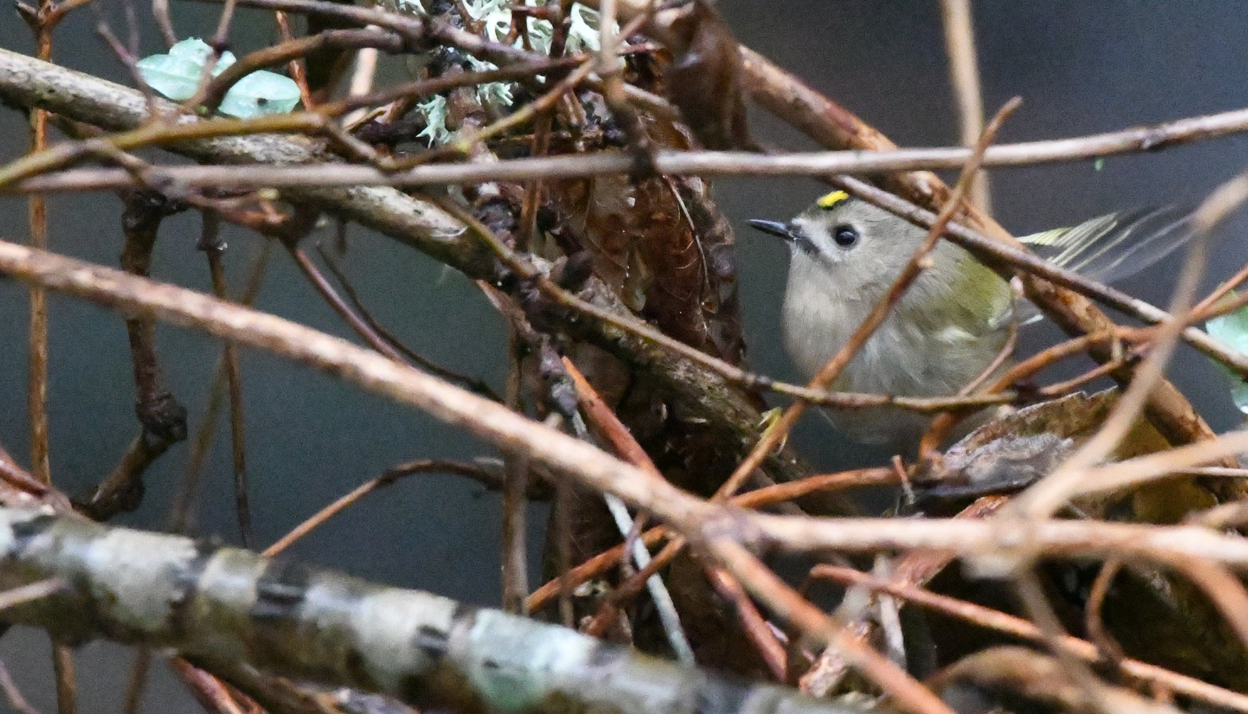
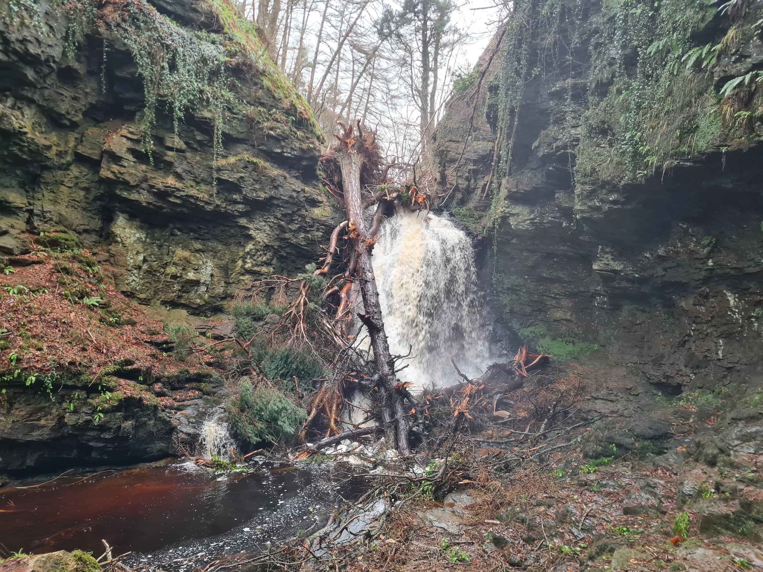
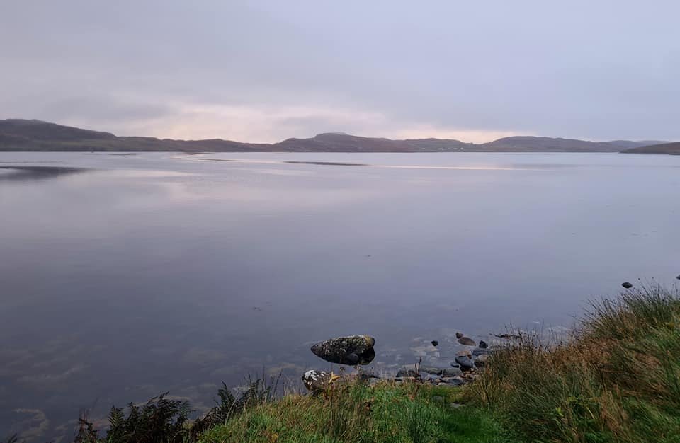
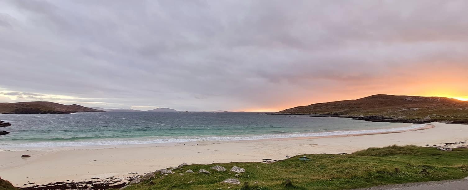
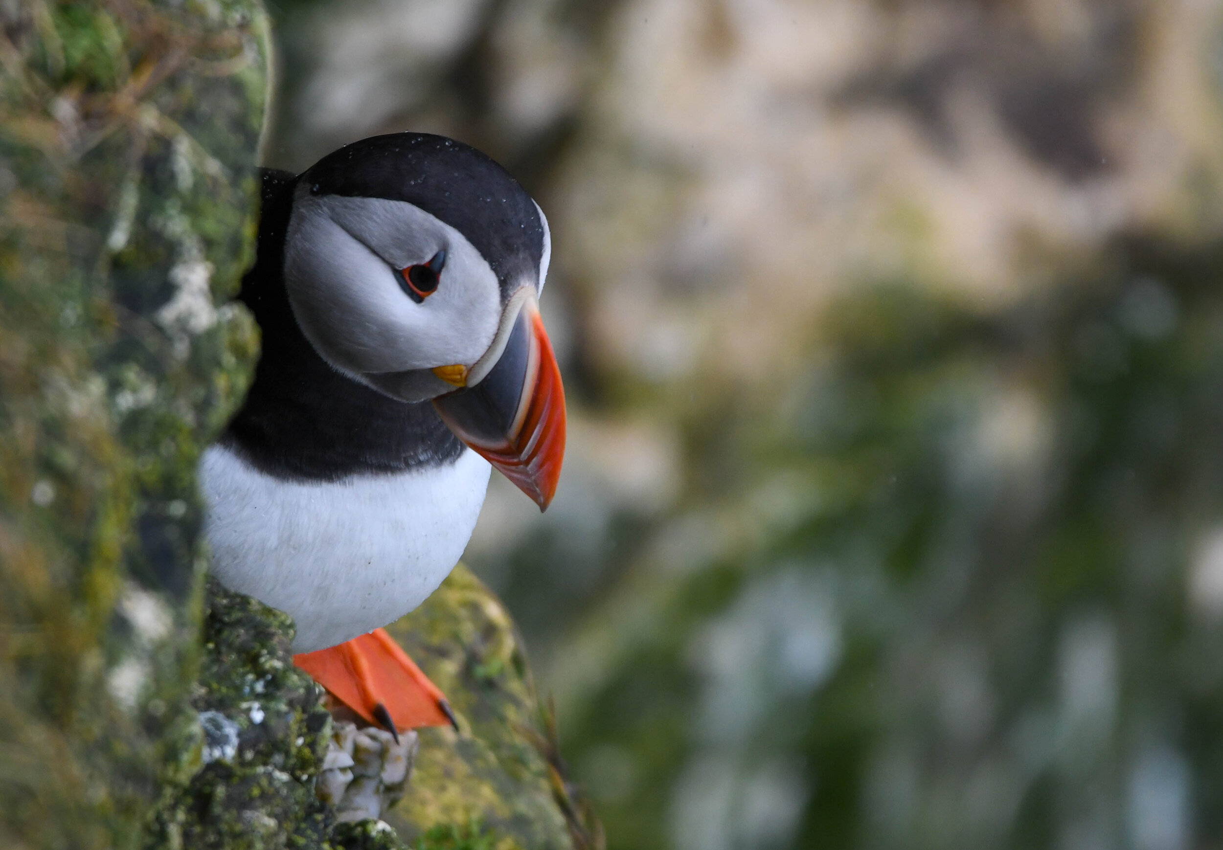
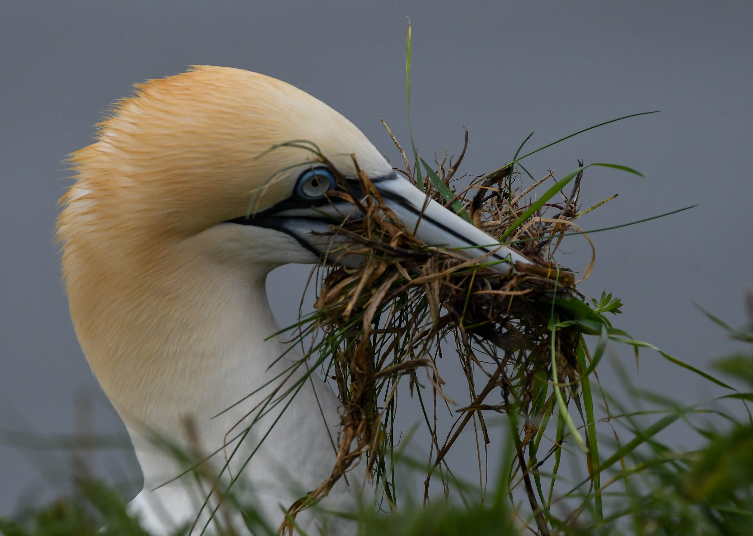
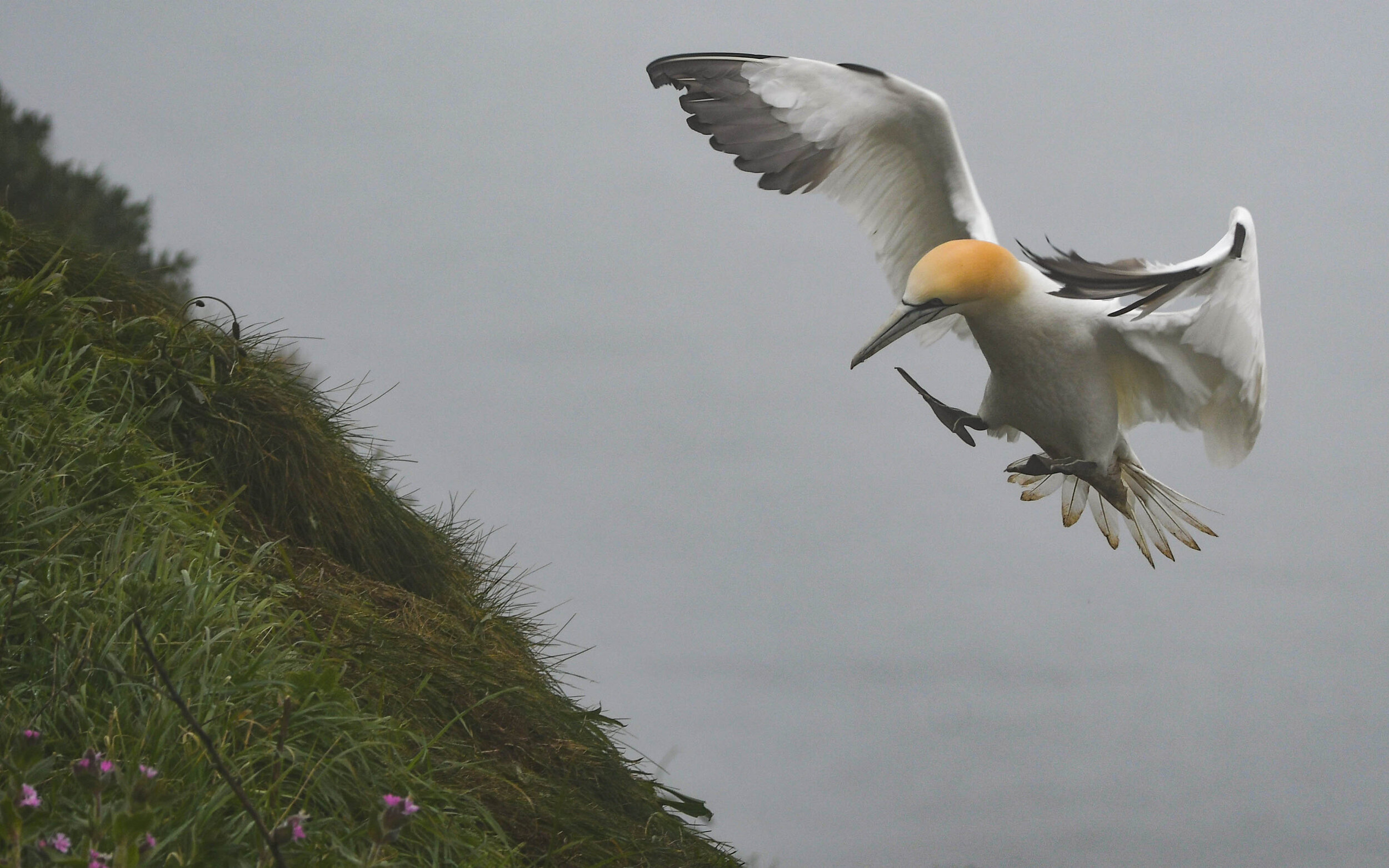
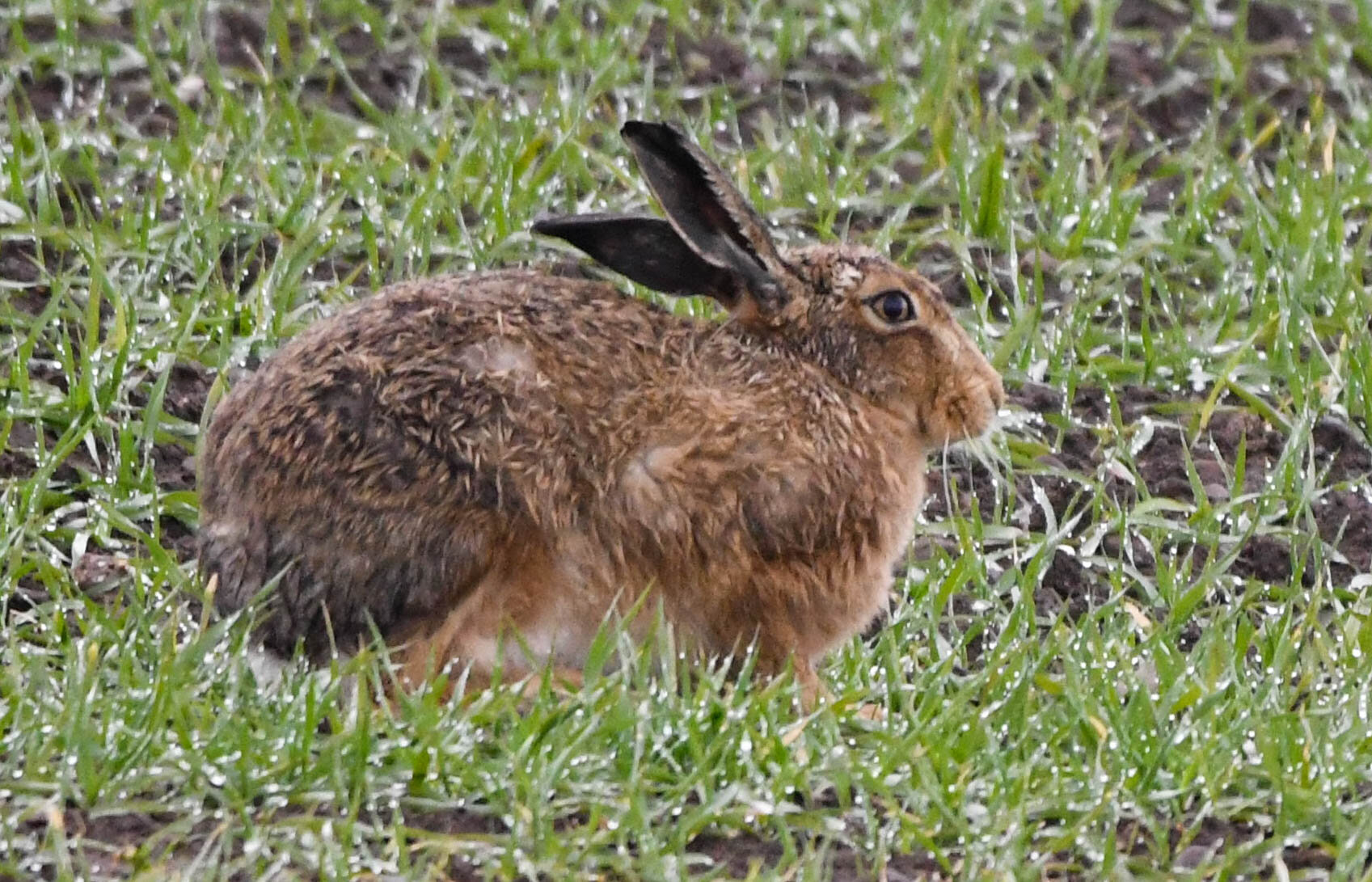
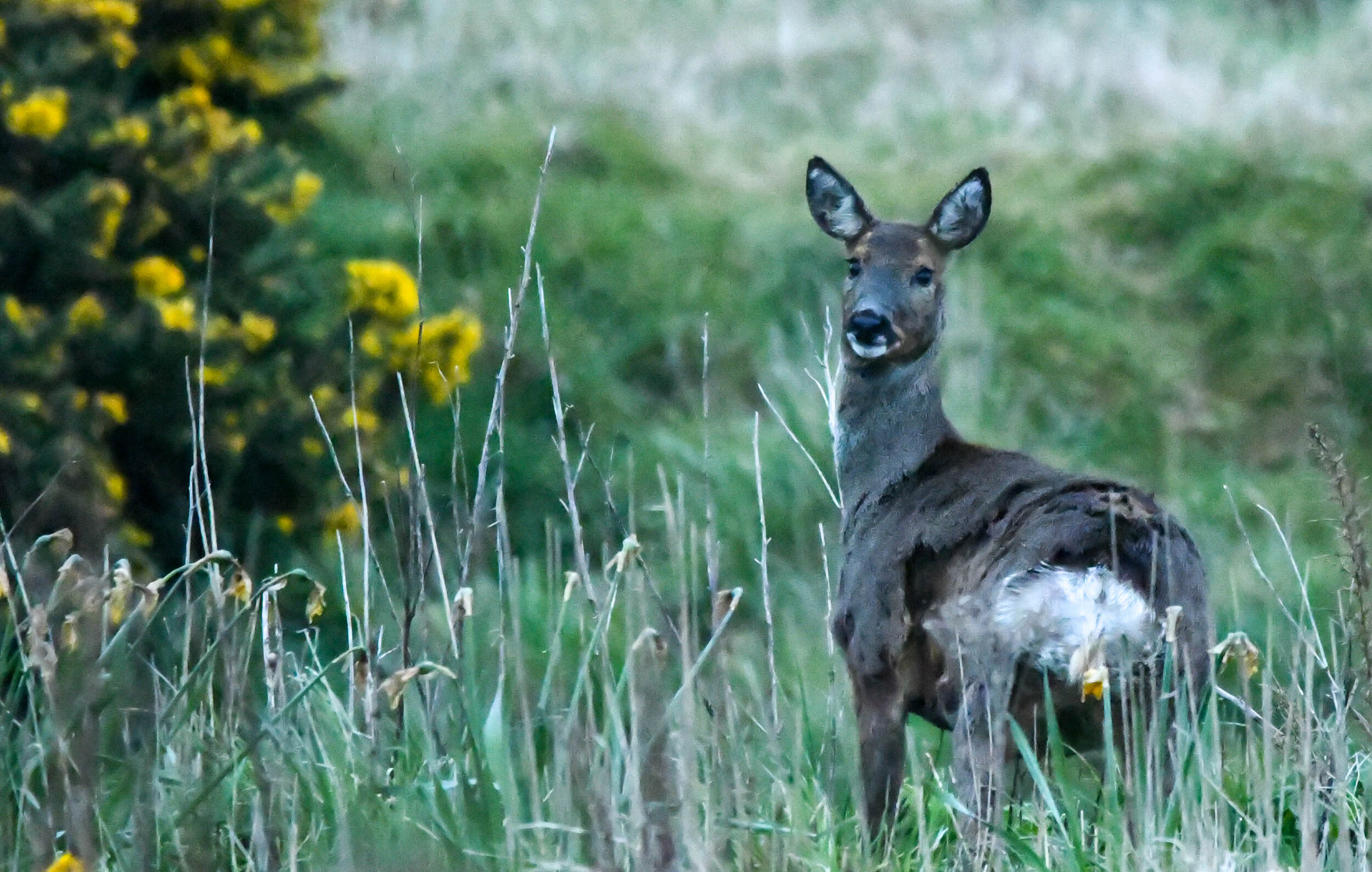
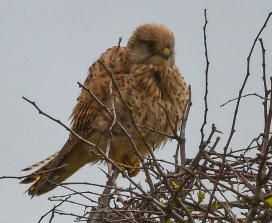
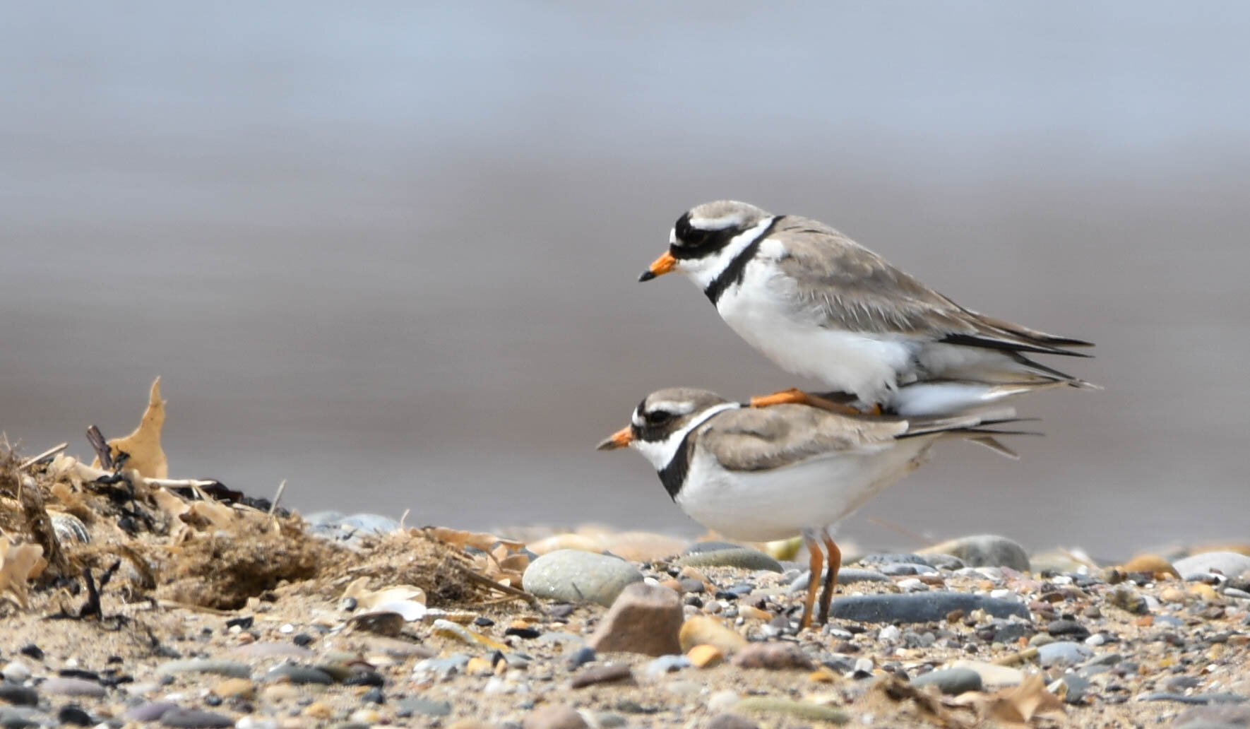
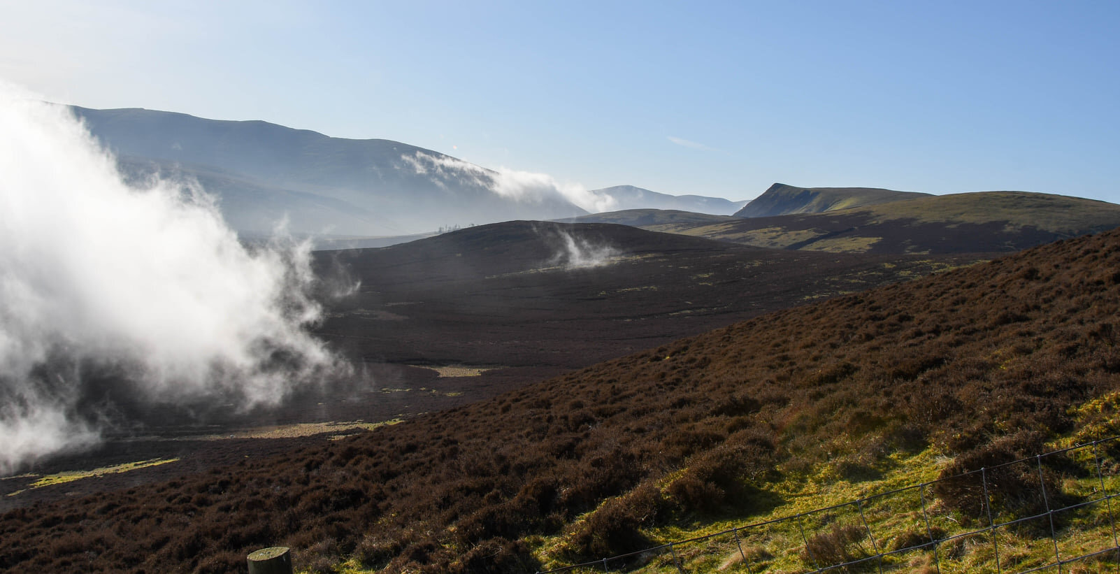
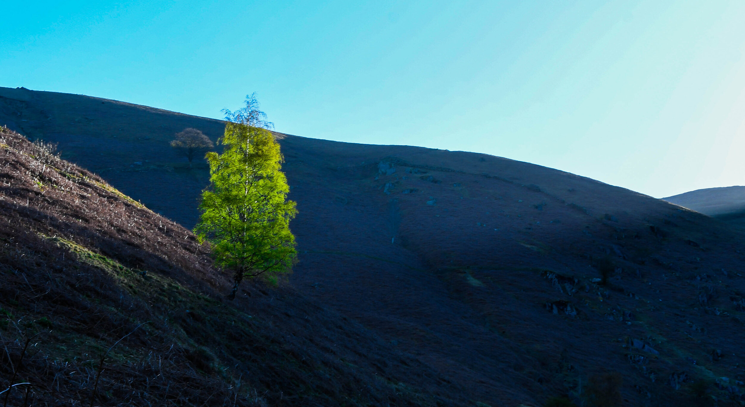
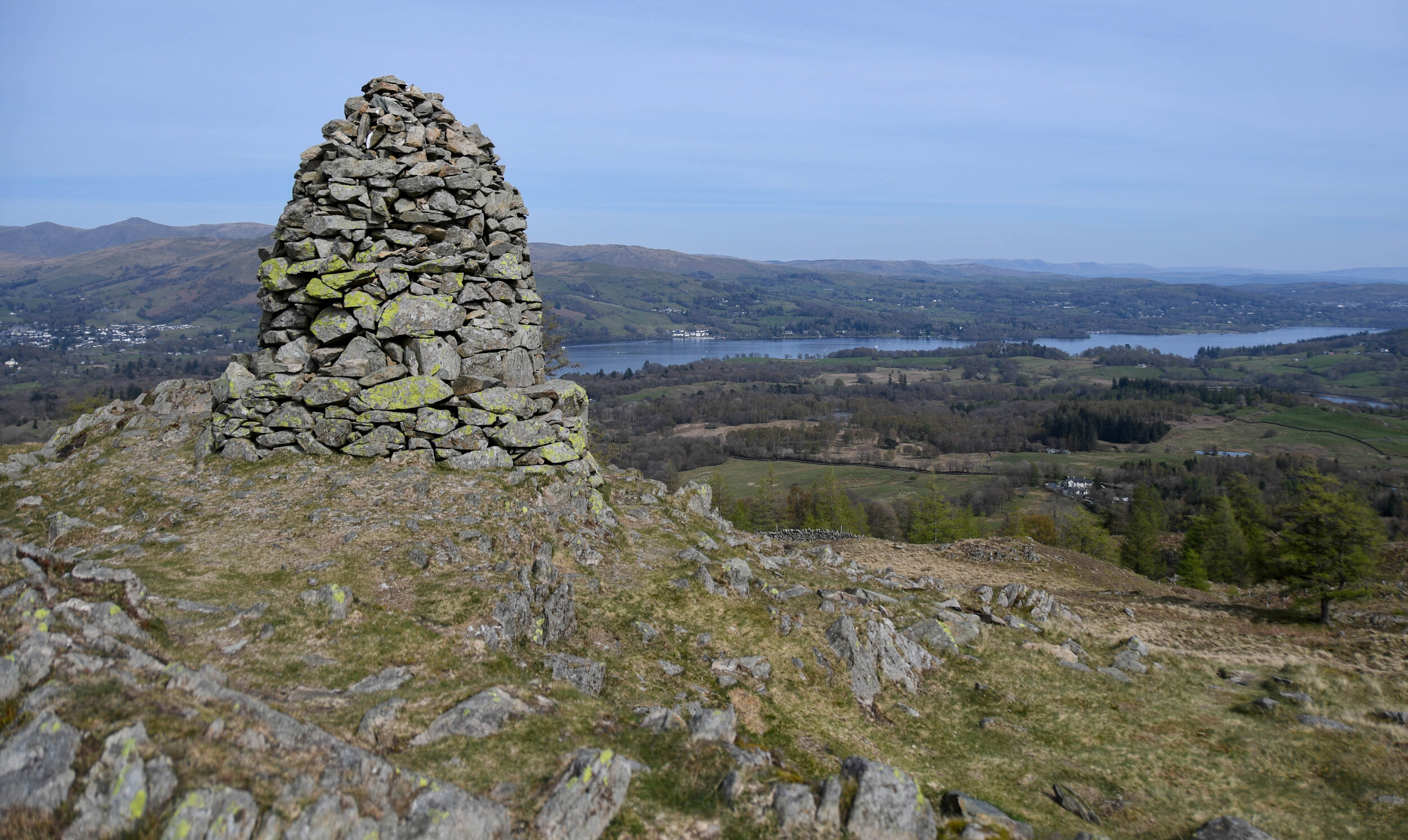
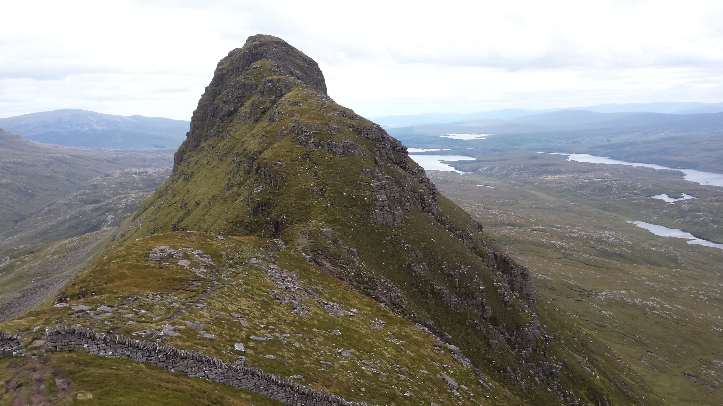
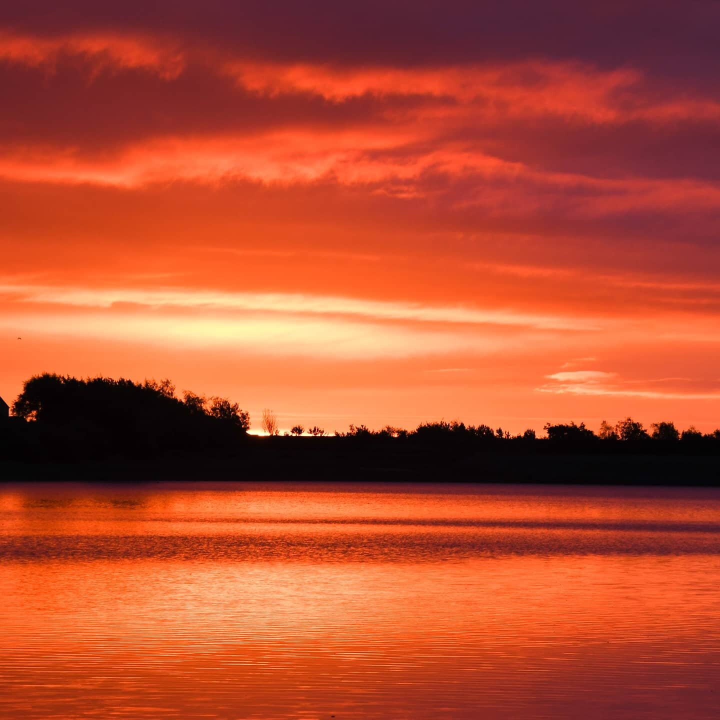
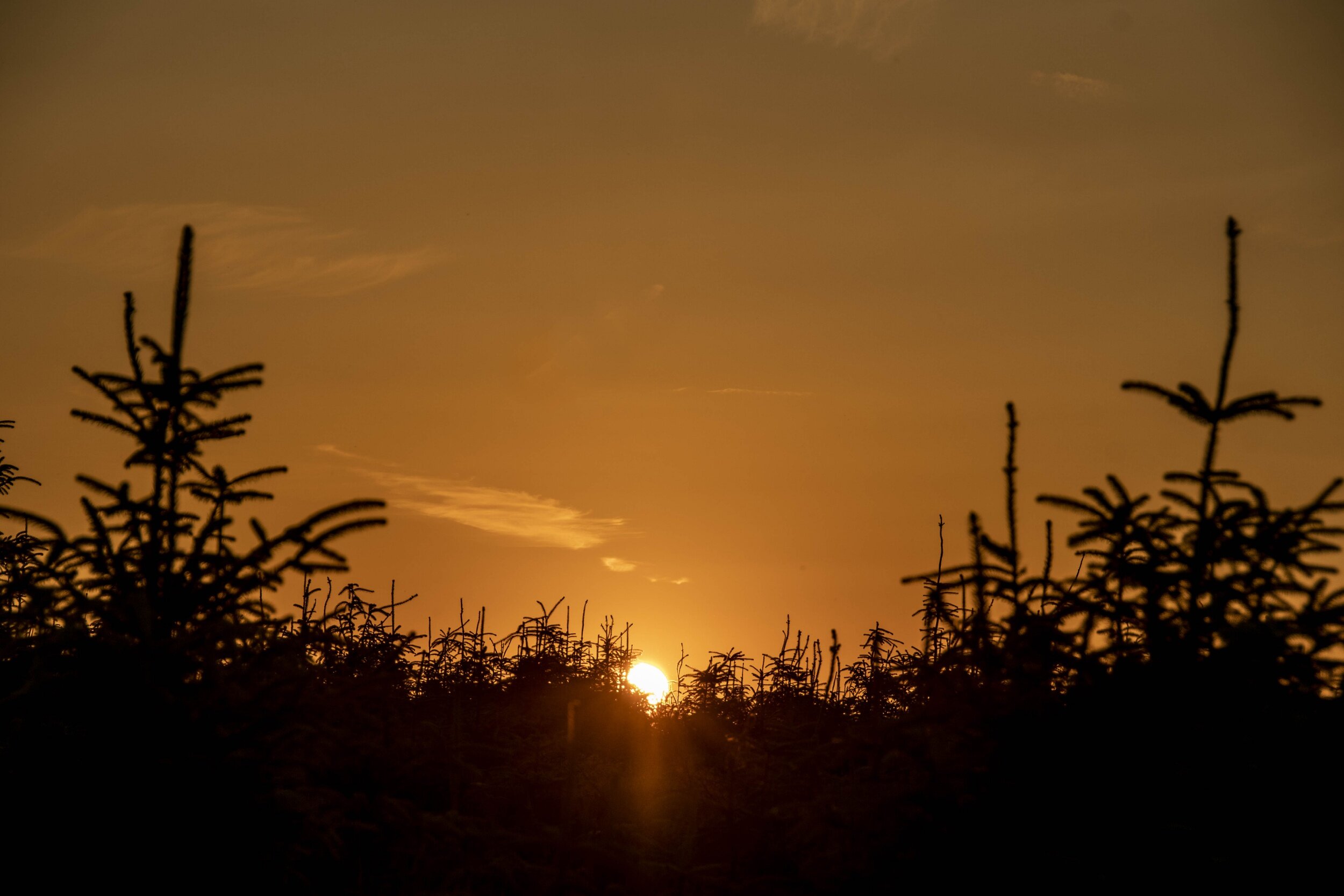
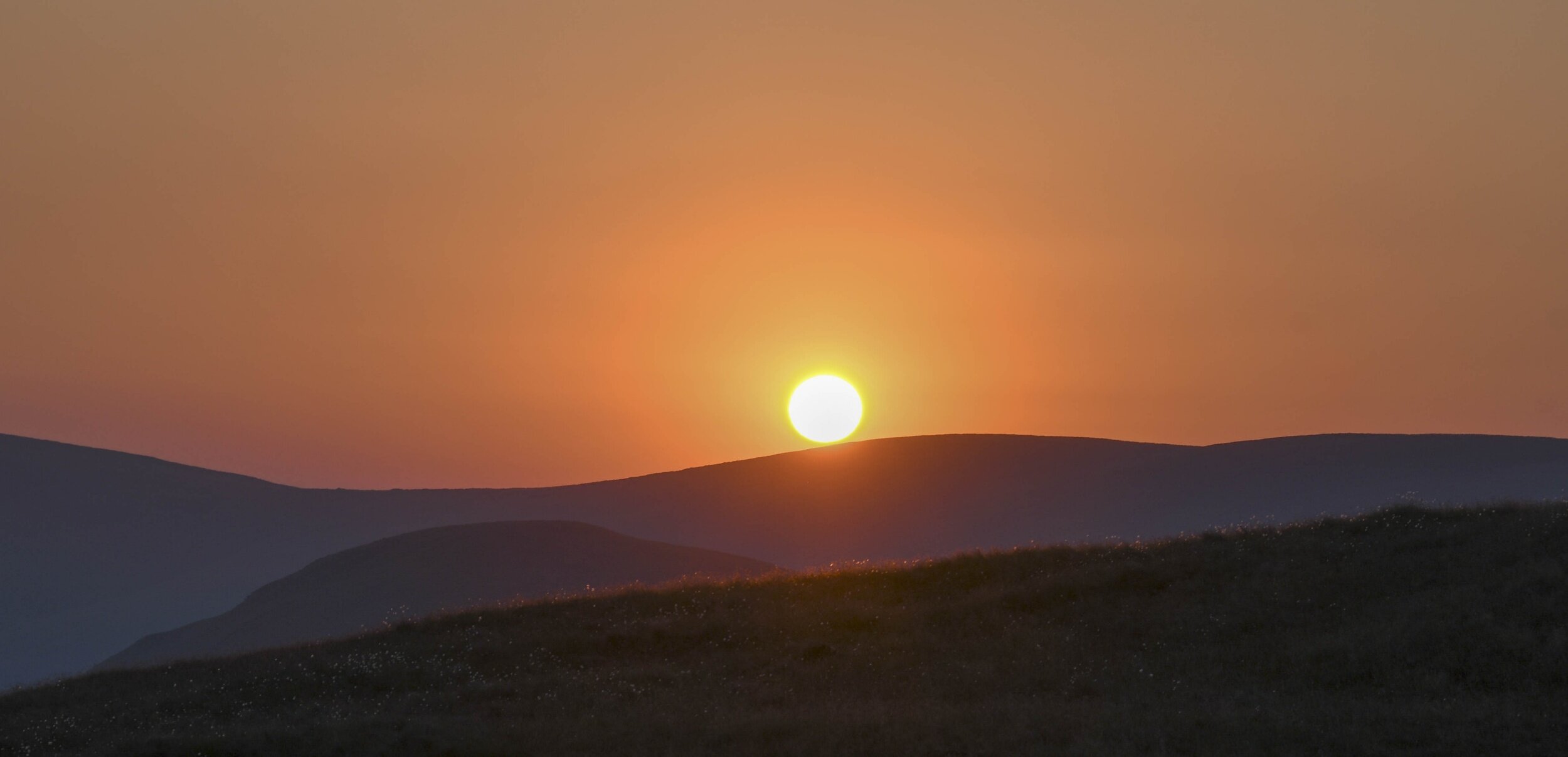
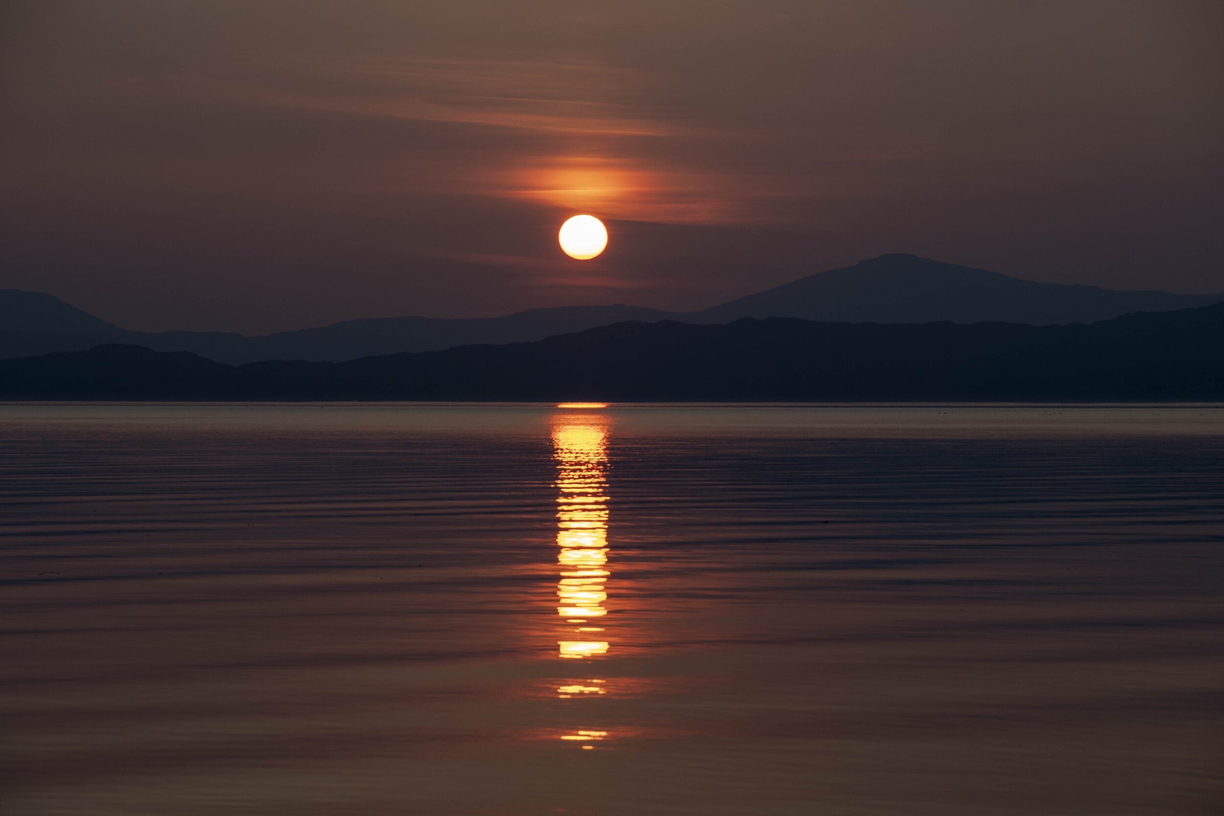
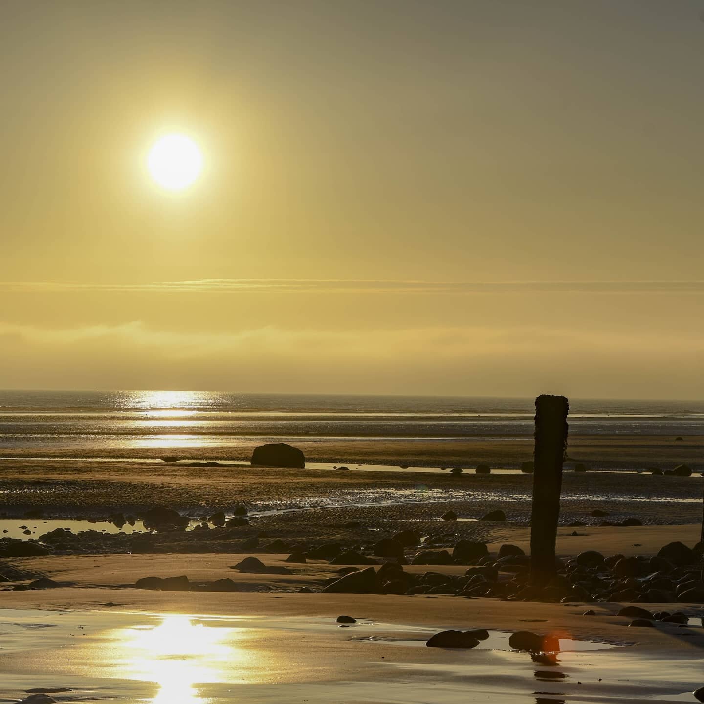
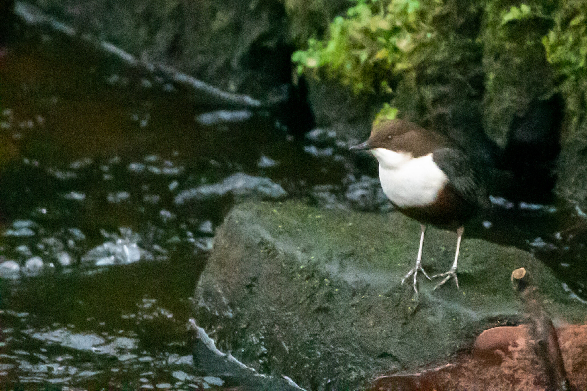
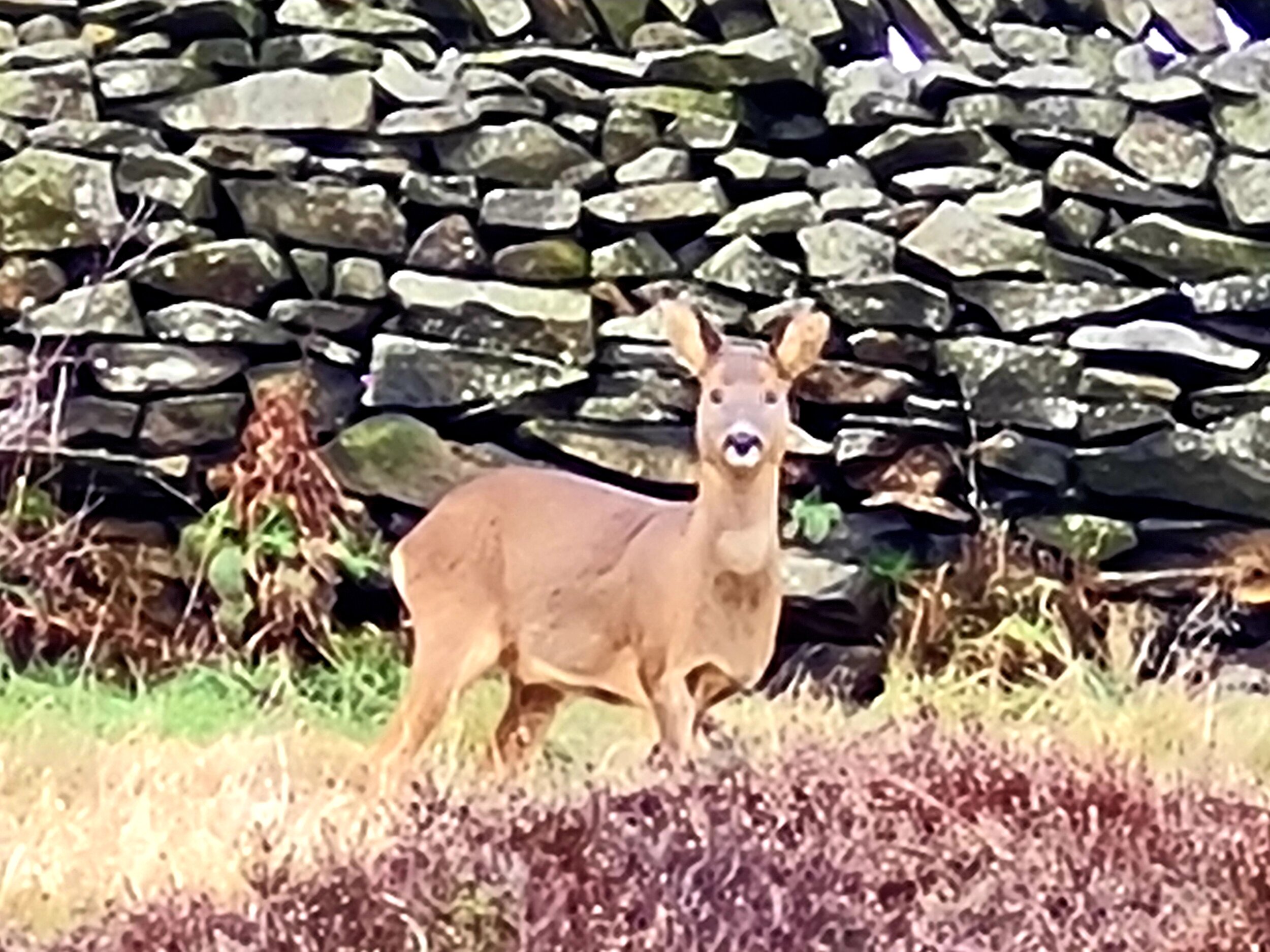
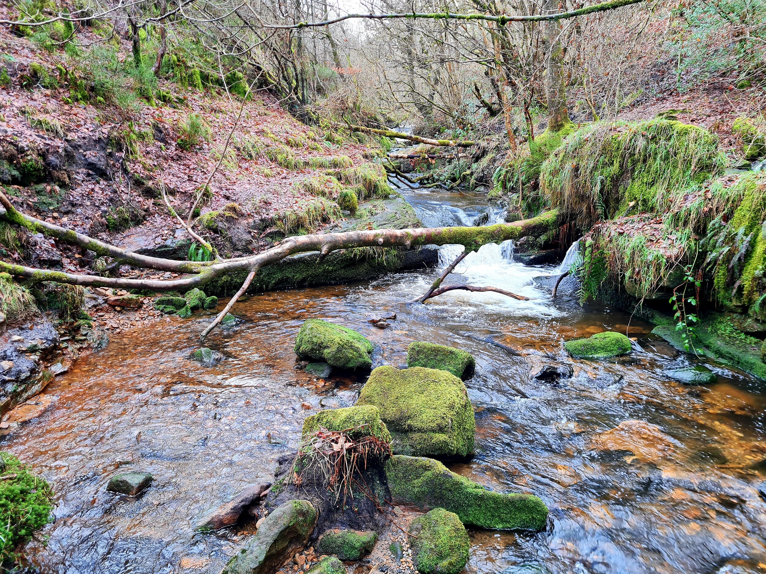
The terrain was unforgiving in places. Boggy ground sapped my energy, and navigating steep descents required careful foot placement to avoid a nasty fall. But those moments of struggle were balanced by the incredible views that the Peak District is known for. Even in the mist, there were flashes of beauty—heather-clad hills, icy streams, and the occasional glimpse of a sunlit valley breaking through the clouds.
Every challenge offers opportunities to learn, and this one was no exception. Here are a few takeaways from my attempt:
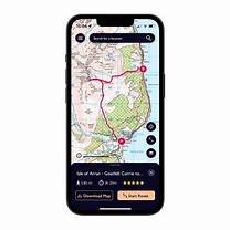
Preparation is everything. From studying the map to packing the right gear, the work you do before you set off can make or break your experience. Take a paper map, there were times when I had no signal, so my OS maps app wouldn’t open.
Adaptability is key. The Peak District’s weather is notoriously unpredictable. Being able to adapt your plan on the fly is crucial.
Stay focused. It’s easy to let your mind wander, especially when fatigue sets in, but attention to detail is critical in a challenge like this.
Enjoy the journey. While the challenge is demanding, it’s also an opportunity to immerse yourself in some of the UK’s most stunning landscapes. Don’t forget to take it all in.
Final Thoughts
The Joe Brown Navigation Challenge was every bit as tough as I’d imagined, but it was also incredibly rewarding. It’s a celebration of navigation, endurance, and the rugged beauty of the Peak District. Whether you’re a seasoned navigator or someone looking to test your skills, I can’t recommend it enough.
For now, I’m hanging up my boots (temporarily) and reflecting on the experience—but I’m already looking forward to the next challenge, once I’ve returned to find the few numbers that I had missed. Have you ever taken on the Joe Brown Navigation Challenge or a similar test of your outdoor skills? I’d love to hear about your experiences!
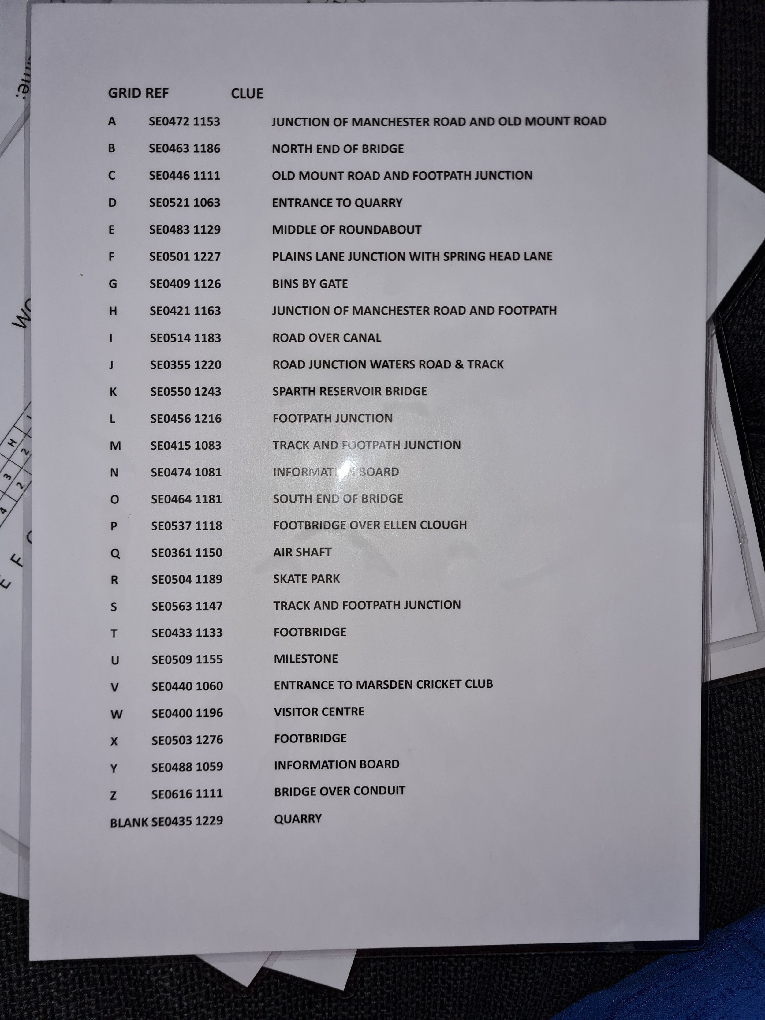
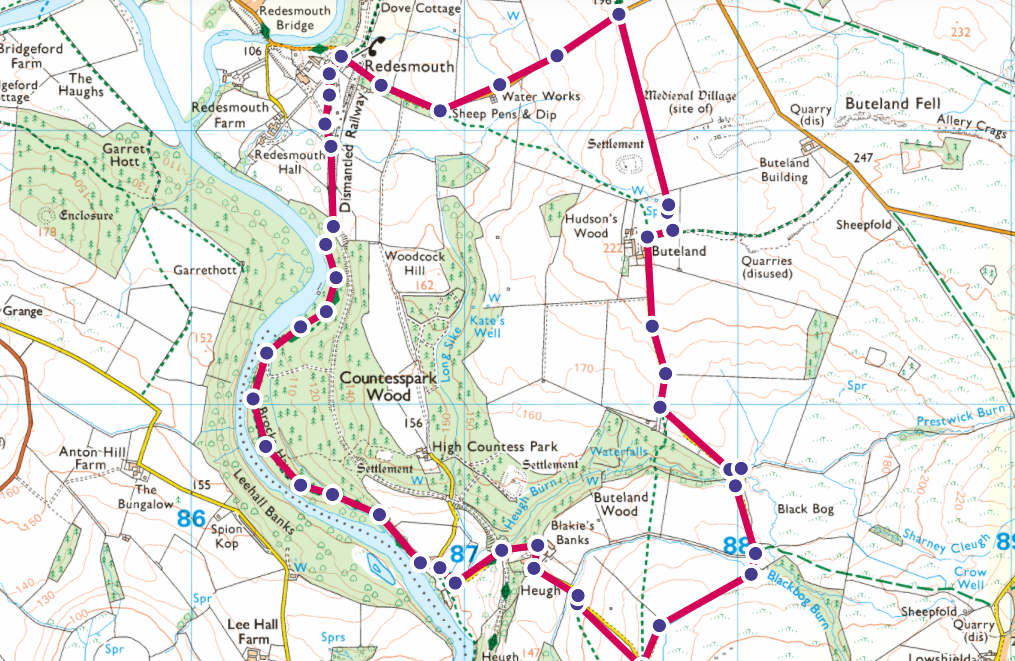
If you fancy having a go, here’s a list of the locations and some clues that I didn’t have until the start of day 3. Some of the original clues were incorrect, the below list is correct at the time of writing.